Area Overview for CH61 9NX
Photos of CH61 9NX
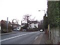
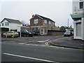
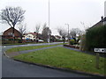
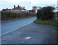
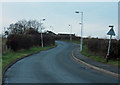
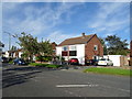
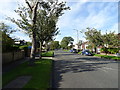
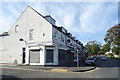
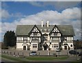
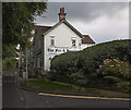
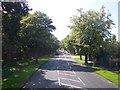
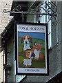
12 photos from this area
Area Information
Key information about the CH61 9NX including its size, population, and administrative classification.
- Area Type
- Postcode
- Area Size
- 6603 m²
- Population
- 1834
- Population Density
- 3273 people/km²
House Prices in CH61 9NX
17
Properties
£166,145
Average Sold Price
£83,500
Lowest Price
£275,000
Highest Price
Showing 17 properties
| Address | Type | Beds | Baths | Last Sale Price | Last Sale Date | |
|---|---|---|---|---|---|---|
| 14 Shearman Road, Pensby, CH61 9NX | Bungalow | - | - | £185,000 | Mar 2021 | |
| 8 Shearman Road, Pensby, CH61 9NX | Semi-detached | 2 | - | £189,950 | Mar 2021 | |
| 24 Shearman Road, Pensby, CH61 9NX | Detached | 3 | 1 | £275,000 | Mar 2020 | |
| 26 Shearman Road, Pensby, CH61 9NX | Semi-detached | 3 | - | £200,000 | Nov 2019 | |
| 6 Shearman Road, Pensby, CH61 9NX | Bungalow | 2 | 1 | £160,000 | Jul 2018 | |
| 22 Shearman Road, Pensby, CH61 9NX | Bungalow | - | - | £162,000 | Aug 2015 | |
| 2 Shearman Road, Pensby, CH61 9NX | Bungalow | - | - | £153,000 | Dec 2014 | |
| 10 Shearman Road, Pensby, CH61 9NX | Bungalow | - | - | £139,000 | Jun 2010 | |
| 4 Shearman Road, Pensby, CH61 9NX | Semi-detached | - | - | £114,000 | Jun 2003 | |
| 18 Shearman Road, Pensby, CH61 9NX | Semi-detached | - | - | £83,500 | Sep 2002 |
Page 1 of 2
Energy Efficiency in CH61 9NX
Amenities
Schools
| Rank | School | Type | Entry gender | Ages |
|---|
Explore more schools in this area
Go to Schools tabDemographics
Household Size
Two person
most common
Accommodation Type
Houses
most common
Tenure
85
majority
Ethnic Group
White
most common
Religion
N/A
most common
Household Composition
N/A
most common
Age
47
median
Adults (30-64 years)
most common
Household Deprivation
N/A
with no deprivation
NS-SEC
32
in Lower managerial occupations
Explore more demographic insights in this area
Go to Demographics tabPlanning
Planning Constraints
- Flood RiskPremium
- Ramsar Wetland SitesPremium
- Area of Outstanding Natural BeautyPremium
- Protected Nature ReservePremium
- Protected WoodlandPremium