Area Overview for CH61 7YA
Photos of CH61 7YA
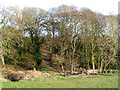
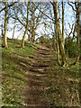
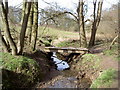
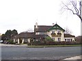
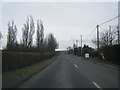
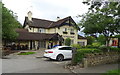
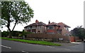
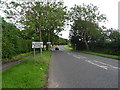
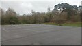
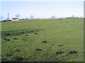
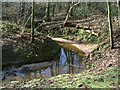
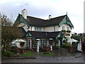
18 photos from this area
Area Information
Key information about the CH61 7YA including its size, population, and administrative classification.
- Area Type
- Postcode
- Area Size
- 10.2 hectares
- Population
- 1517
- Population Density
- 355 people/km²
House Prices in CH61 7YA
6
Properties
£445,333
Average Sold Price
£96,000
Lowest Price
£760,000
Highest Price
Showing 6 properties
| Address | Type | Beds | Baths | Last Sale Price | Last Sale Date | |
|---|---|---|---|---|---|---|
| Conwis Stables, Gallopers Lane, Thingwall, CH61 7YA | Semi-detached | 4 | 2 | £760,000 | Nov 2025 | |
| The Bungalow, Gallopers Lane, Thingwall, CH61 7YA | Bungalow | - | - | £480,000 | Jul 2023 | |
| Rosecroft, Gallopers Lane, Thingwall, CH61 7YA | Bungalow | - | - | £96,000 | Jan 2020 | |
| Caravan, Thingwall Nurseries, Lower Thingwall Lane, Thingwall, CH61 7YA | Mobile Home | - | - | - | - | |
| Woodfin, The Farm, Gallopers Lane, Thingwall, CH61 7YA | Detached | - | - | - | - | |
| Swallowfields, Gallopers Lane, Thingwall, CH61 7YA | Bungalow | - | - | - | - |
Energy Efficiency in CH61 7YA
Amenities
Schools
| Rank | School | Type | Entry gender | Ages |
|---|
Explore more schools in this area
Go to Schools tabDemographics
Household Size
Two person
most common
Accommodation Type
Houses
most common
Tenure
79
majority
Ethnic Group
White
most common
Religion
N/A
most common
Household Composition
N/A
most common
Age
47
median
Adults (30-64 years)
most common
Household Deprivation
N/A
with no deprivation
NS-SEC
40
in Lower managerial occupations
Explore more demographic insights in this area
Go to Demographics tabPlanning
Planning Constraints
- Flood RiskPremium
- Ramsar Wetland SitesPremium
- Area of Outstanding Natural BeautyPremium
- Protected Nature ReservePremium
- Protected WoodlandPremium