Area Overview for CH61 6UP
Photos of CH61 6UP
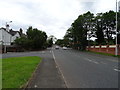
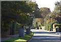
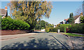
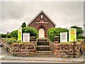
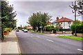
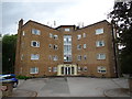
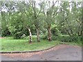
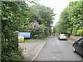
15 photos from this area
Area Information
Key information about the CH61 6UP including its size, population, and administrative classification.
- Area Type
- Postcode
- Area Size
- 1.3 hectares
- Population
- 1313
- Population Density
- 1323 people/km²
House Prices in CH61 6UP
30
Properties
£232,769
Average Sold Price
£76,000
Lowest Price
£405,000
Highest Price
Showing 30 properties
| Address | Type | Beds | Baths | Last Sale Price | Last Sale Date | |
|---|---|---|---|---|---|---|
| 29 Hawthorne Drive, Pensby, CH61 6UP | Semi-detached | 3 | 1 | £405,000 | Mar 2024 | |
| 49 Hawthorne Drive, Pensby, CH61 6UP | Semi-detached | 3 | 1 | £315,000 | Feb 2024 | |
| 27 Hawthorne Drive, Pensby, CH61 6UP | Semi-detached | 3 | - | £400,000 | Aug 2022 | |
| 39 Hawthorne Drive, Pensby, CH61 6UP | house | - | - | £309,950 | Dec 2020 | |
| 5 Hawthorne Drive, Pensby, CH61 6UP | house | - | - | £312,000 | Aug 2020 | |
| 35 Hawthorne Drive, Pensby, CH61 6UP | Semi-detached | 3 | 1 | £315,000 | Mar 2020 | |
| 9 Hawthorne Drive, Pensby, CH61 6UP | house | 3 | - | £300,000 | May 2019 | |
| 1 Hawthorne Drive, Pensby, CH61 6UP | Semi-detached | 3 | 1 | £315,000 | Dec 2017 | |
| 21 Hawthorne Drive, Pensby, CH61 6UP | Semi-detached | 3 | 1 | £230,000 | Apr 2014 | |
| 37 Hawthorne Drive, Pensby, CH61 6UP | house | - | - | £238,000 | Mar 2012 |
Page 1 of 3
Energy Efficiency in CH61 6UP
Amenities
Schools
| Rank | School | Type | Entry gender | Ages |
|---|
Explore more schools in this area
Go to Schools tabDemographics
Household Size
One person
most common
Accommodation Type
Houses
most common
Tenure
69
majority
Ethnic Group
White
most common
Religion
N/A
most common
Household Composition
N/A
most common
Age
47
median
Adults (30-64 years)
most common
Household Deprivation
N/A
with no deprivation
NS-SEC
41
in Lower managerial occupations
Explore more demographic insights in this area
Go to Demographics tabPlanning
Planning Constraints
- Flood RiskPremium
- Ramsar Wetland SitesPremium
- Area of Outstanding Natural BeautyPremium
- Protected Nature ReservePremium
- Protected WoodlandPremium