Area Overview for CH61 6UB
Photos of CH61 6UB

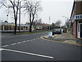
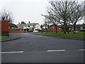
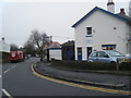
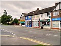
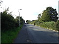
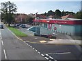
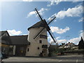
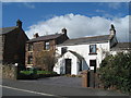
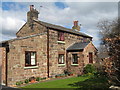
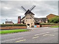
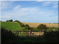
13 photos from this area
Area Information
Key information about the CH61 6UB including its size, population, and administrative classification.
- Area Type
- Postcode
- Area Size
- 1.0 hectares
- Population
- Not available
- Population Density
- Not available
House Prices in CH61 6UB
16
Properties
£280,045
Average Sold Price
£95,000
Lowest Price
£440,000
Highest Price
Showing 16 properties
| Address | Type | Beds | Baths | Last Sale Price | Last Sale Date | |
|---|---|---|---|---|---|---|
| 193 Pensby Road, Heswall, CH61 6UB | house | 4 | 2 | £440,000 | Sep 2025 | |
| 165 Pensby Road, Heswall, CH61 6UB | Semi-detached | 3 | 1 | £375,000 | May 2025 | |
| 175 Pensby Road, Heswall, CH61 6UB | house | - | - | £371,000 | Jul 2024 | |
| 183 Pensby Road, Heswall, CH61 6UB | Semi-detached | 3 | - | £366,000 | Jan 2023 | |
| 191 Pensby Road, Heswall, CH61 6UB | Semi-detached | 3 | 1 | £287,000 | Feb 2021 | |
| 163 Pensby Road, Heswall, CH61 6UB | Semi-detached | 3 | 1 | £274,450 | Oct 2020 | |
| 181 Pensby Road, Heswall, CH61 6UB | house | - | - | £261,000 | Oct 2020 | |
| 179 Pensby Road, Heswall, CH61 6UB | Semi-detached | - | - | £210,000 | Mar 2007 | |
| 171 Pensby Road, Heswall, CH61 6UB | Semi-detached | - | - | £121,000 | Nov 2000 | |
| 173 Pensby Road, Heswall, CH61 6UB | Semi-detached | - | - | £95,000 | Jun 1999 |
Page 1 of 2
Energy Efficiency in CH61 6UB
Amenities
Schools
| Rank | School | Type | Entry gender | Ages |
|---|
Explore more schools in this area
Go to Schools tabDemographics
Household Size
One person
most common
Accommodation Type
Houses
most common
Tenure
80
majority
Ethnic Group
White
most common
Religion
N/A
most common
Household Composition
N/A
most common
Age
47
median
Adults (30-64 years)
most common
Household Deprivation
N/A
with no deprivation
NS-SEC
44
in Lower managerial occupations
Explore more demographic insights in this area
Go to Demographics tabPlanning
Planning Constraints
- Flood RiskPremium
- Ramsar Wetland SitesPremium
- Area of Outstanding Natural BeautyPremium
- Protected Nature ReservePremium
- Protected WoodlandPremium