Area Overview for CH61 1BF
Photos of CH61 1BF
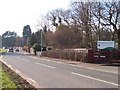
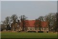
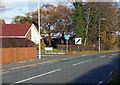
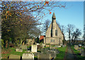
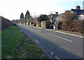
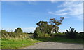
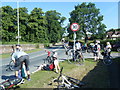
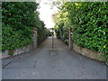
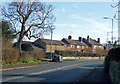
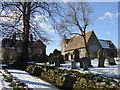
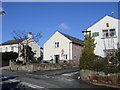
13 photos from this area
Area Information
Key information about the CH61 1BF including its size, population, and administrative classification.
- Area Type
- Postcode
- Area Size
- 1.0 hectares
- Population
- 1253
- Population Density
- 564 people/km²
House Prices in CH61 1BF
7
Properties
£638,258
Average Sold Price
£576,350
Lowest Price
£715,000
Highest Price
Showing 7 properties
| Address | Type | Beds | Baths | Last Sale Price | Last Sale Date | |
|---|---|---|---|---|---|---|
| Herdwick Barn, 2 Manor Farm Close, Barnston, CH61 1BF | Terraced | - | - | £635,700 | Jun 2023 | |
| Willow Barn, 3 Manor Farm Close, Barnston, CH61 1BF | Terraced | - | - | £715,000 | Jun 2023 | |
| Laycroft, 6 Manor Farm Close, Barnston, CH61 1BF | Terraced | - | - | £650,000 | May 2023 | |
| Inglewood, 7 Manor Farm Close, Barnston, CH61 1BF | Terraced | - | - | £576,350 | May 2023 | |
| The Glade, 5 Manor Farm Close, Barnston, CH61 1BF | Detached | 4 | 2 | £627,500 | Apr 2023 | |
| The Acorns, 4 Manor Farm Close, Barnston, CH61 1BF | Semi-detached | - | - | £625,000 | Apr 2023 | |
| Sandfield Barn, 1 Manor Farm Close, Barnston, CH61 1BF | Semi-detached | 3 | - | - | - |
Energy Efficiency in CH61 1BF
Amenities
Schools
| Rank | School | Type | Entry gender | Ages |
|---|
Explore more schools in this area
Go to Schools tabDemographics
Household Size
Two person
most common
Accommodation Type
Houses
most common
Tenure
90
majority
Ethnic Group
White
most common
Religion
N/A
most common
Household Composition
N/A
most common
Age
47
median
Adults (30-64 years)
most common
Household Deprivation
N/A
with no deprivation
NS-SEC
48
in Lower managerial occupations
Explore more demographic insights in this area
Go to Demographics tabPlanning
Planning Constraints
- Flood RiskPremium
- Ramsar Wetland SitesPremium
- Area of Outstanding Natural BeautyPremium
- Protected Nature ReservePremium
- Protected WoodlandPremium