Area Overview for CH61 1AT
Photos of CH61 1AT
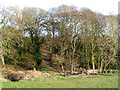
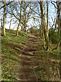
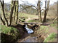
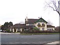
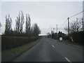
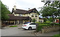
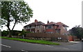
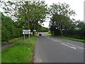
18 photos from this area
Area Information
Key information about the CH61 1AT including its size, population, and administrative classification.
- Area Type
- Postcode
- Area Size
- 2.0 hectares
- Population
- 1517
- Population Density
- 355 people/km²
House Prices in CH61 1AT
13
Properties
£300,750
Average Sold Price
£65,000
Lowest Price
£668,000
Highest Price
Showing 13 properties
| Address | Type | Beds | Baths | Last Sale Price | Last Sale Date | |
|---|---|---|---|---|---|---|
| 116 Barnston Road, Thingwall, CH61 1AT | house | 3 | 1 | £270,000 | Oct 2024 | |
| 104 Barnston Road, Thingwall, CH61 1AT | house | - | - | £668,000 | Mar 2023 | |
| 112 Barnston Road, Thingwall, CH61 1AT | Detached | 3 | - | £200,000 | Jan 2014 | |
| 110 Barnston Road, Thingwall, CH61 1AT | Terraced | - | - | £65,000 | Sep 1996 | |
| Willowcroft, 120 Barnston Road, Thingwall, CH61 1AT | Detached | 3 | 1 | - | - | |
| Port Ny Chee, 122 Barnston Road, Thingwall, CH61 1AT | Semi-detached | 3 | 1 | - | - | |
| Kingston, 124 Barnston Road, Thingwall, CH61 1AT | Semi-detached | 3 | 1 | - | - | |
| Hillcroft, 106 Barnston Road, Thingwall, CH61 1AT | Semi-detached | 4 | 3 | - | - | |
| Gleniffer, 108 Barnston Road, Thingwall, CH61 1AT | Semi-detached | 3 | 1 | - | - | |
| Holly Bank, 102 Barnston Road, Thingwall, CH61 1AT | Detached | 4 | - | - | - |
Page 1 of 2
Energy Efficiency in CH61 1AT
Amenities
Schools
| Rank | School | Type | Entry gender | Ages |
|---|
Explore more schools in this area
Go to Schools tabDemographics
Household Size
Two person
most common
Accommodation Type
Houses
most common
Tenure
79
majority
Ethnic Group
White
most common
Religion
N/A
most common
Household Composition
N/A
most common
Age
47
median
Adults (30-64 years)
most common
Household Deprivation
N/A
with no deprivation
NS-SEC
40
in Lower managerial occupations
Explore more demographic insights in this area
Go to Demographics tabPlanning
Planning Constraints
- Flood RiskPremium
- Ramsar Wetland SitesPremium
- Area of Outstanding Natural BeautyPremium
- Protected Nature ReservePremium
- Protected WoodlandPremium