Area Overview for CH61 1AN
Photos of CH61 1AN
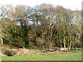
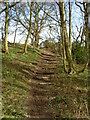
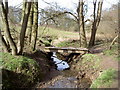
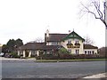
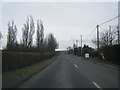
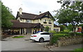
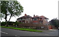
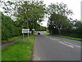
18 photos from this area
Area Information
Key information about the CH61 1AN including its size, population, and administrative classification.
- Area Type
- Postcode
- Area Size
- 2.0 hectares
- Population
- 1253
- Population Density
- 564 people/km²
House Prices in CH61 1AN
13
Properties
£267,353
Average Sold Price
£68,075
Lowest Price
£460,000
Highest Price
Showing 13 properties
| Address | Type | Beds | Baths | Last Sale Price | Last Sale Date | |
|---|---|---|---|---|---|---|
| Ranmoor, 9 Low Wood Grove, Barnston, CH61 1AN | Semi-detached | 4 | 2 | £460,000 | Sep 2025 | |
| Woodhollow, 7 Low Wood Grove, Barnston, CH61 1AN | Detached | 3 | 2 | £449,950 | Feb 2022 | |
| Malden, 17 Low Wood Grove, Barnston, CH61 1AN | Bungalow | 2 | 1 | £331,000 | Aug 2018 | |
| Wasdale, 15 Low Wood Grove, Barnston, CH61 1AN | Bungalow | - | - | £245,000 | Oct 2014 | |
| Clearbrook, 21 Low Wood Grove, Barnston, CH61 1AN | house | - | - | £283,000 | May 2014 | |
| 1 Low Wood Grove, Barnston, CH61 1AN | Retail | 3 | 2 | £177,000 | Aug 2011 | |
| The Croft, 5 Low Wood Grove, Barnston, CH61 1AN | Detached | 4 | - | £380,000 | Aug 2007 | |
| 3 Low Wood Grove, Barnston, CH61 1AN | Bungalow | - | - | £150,000 | Jun 2005 | |
| Sotillo, 19 Low Wood Grove, Barnston, CH61 1AN | Semi-detached | - | - | £68,075 | Dec 1998 | |
| Holmwood, 13 Low Wood Grove, Barnston, CH61 1AN | Detached | - | - | £129,500 | Aug 1997 |
Page 1 of 2
Energy Efficiency in CH61 1AN
Amenities
Schools
| Rank | School | Type | Entry gender | Ages |
|---|
Explore more schools in this area
Go to Schools tabDemographics
Household Size
Two person
most common
Accommodation Type
Houses
most common
Tenure
90
majority
Ethnic Group
White
most common
Religion
N/A
most common
Household Composition
N/A
most common
Age
47
median
Adults (30-64 years)
most common
Household Deprivation
N/A
with no deprivation
NS-SEC
48
in Lower managerial occupations
Explore more demographic insights in this area
Go to Demographics tabPlanning
Planning Constraints
- Flood RiskPremium
- Ramsar Wetland SitesPremium
- Area of Outstanding Natural BeautyPremium
- Protected Nature ReservePremium
- Protected WoodlandPremium