Area Overview for CH60 9HF
Photos of CH60 9HF
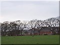
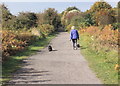
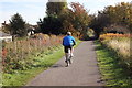
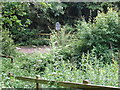
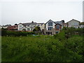
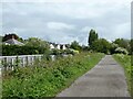
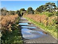
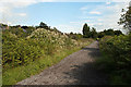
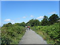
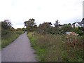
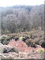
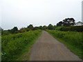
13 photos from this area
Area Information
Key information about the CH60 9HF including its size, population, and administrative classification.
- Area Type
- Postcode
- Area Size
- 1.6 hectares
- Population
- 1454
- Population Density
- 475 people/km²
House Prices in CH60 9HF
8
Properties
£444,500
Average Sold Price
£227,500
Lowest Price
£660,000
Highest Price
Showing 8 properties
| Address | Type | Beds | Baths | Last Sale Price | Last Sale Date | |
|---|---|---|---|---|---|---|
| 68 Oldfield Drive, Heswall, CH60 9HF | Semi-detached | 4 | 1 | £410,000 | Aug 2018 | |
| 60 Oldfield Drive, Heswall, CH60 9HF | Detached | 4 | - | £620,000 | Sep 2014 | |
| 70 Oldfield Drive, Heswall, CH60 9HF | house | - | - | £305,000 | Sep 2013 | |
| 62 Oldfield Drive, Heswall, CH60 9HF | house | - | - | £660,000 | Nov 2012 | |
| Hilbre, 66 Oldfield Drive, Heswall, CH60 9HF | Detached | - | - | £227,500 | Oct 1999 | |
| Bryn Tirion, 72 Oldfield Drive, Heswall, CH60 9HF | Semi-detached | 4 | 2 | - | - | |
| 64 Oldfield Drive, Heswall, CH60 9HF | Detached | - | - | - | - | |
| 66A Oldfield Drive, Heswall, CH60 9HF | Detached | - | - | - | - |
Energy Efficiency in CH60 9HF
Amenities
Schools
| Rank | School | Type | Entry gender | Ages |
|---|
Explore more schools in this area
Go to Schools tabDemographics
Household Size
Two person
most common
Accommodation Type
Houses
most common
Tenure
96
majority
Ethnic Group
White
most common
Religion
N/A
most common
Household Composition
N/A
most common
Age
47
median
Adults (30-64 years)
most common
Household Deprivation
N/A
with no deprivation
NS-SEC
56
in Lower managerial occupations
Explore more demographic insights in this area
Go to Demographics tabPlanning
Planning Constraints
- Flood RiskPremium
- Ramsar Wetland SitesPremium
- Area of Outstanding Natural BeautyPremium
- Protected Nature ReservePremium
- Protected WoodlandPremium