Area Overview for CH60 8PR
Photos of CH60 8PR
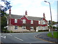
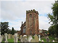
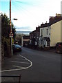
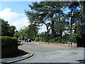
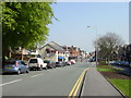
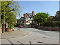
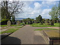
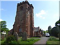
52 photos from this area
Area Information
Key information about the CH60 8PR including its size, population, and administrative classification.
- Area Type
- Postcode
- Area Size
- 8774 m²
- Population
- 1515
- Population Density
- 673 people/km²
House Prices in CH60 8PR
10
Properties
£487,611
Average Sold Price
£180,000
Lowest Price
£850,000
Highest Price
Showing 10 properties
| Address | Type | Beds | Baths | Last Sale Price | Last Sale Date | |
|---|---|---|---|---|---|---|
| Glenfield, 10 The Lydiate, Heswall, CH60 8PR | house | - | - | £665,000 | May 2023 | |
| Kerrys Cottage, 6 The Lydiate, Heswall, CH60 8PR | Detached | 4 | - | £750,000 | Sep 2021 | |
| 14 The Lydiate, Heswall, CH60 8PR | house | - | - | £587,500 | Jun 2021 | |
| Manaar, 8 The Lydiate, Heswall, CH60 8PR | Bungalow | - | - | £530,000 | Dec 2019 | |
| 1 The Lydiate, Heswall, CH60 8PR | Land | - | - | £850,000 | May 2019 | |
| Sunset View, 3 The Lydiate, Heswall, CH60 8PR | house | - | - | £301,000 | Oct 2017 | |
| Annabels Cottage, 4 The Lydiate, Heswall, CH60 8PR | Semi-detached | 4 | 1 | £255,000 | Jan 2017 | |
| 2 The Lydiate, Heswall, CH60 8PR | Semi-detached | 3 | 2 | £270,000 | Mar 2016 | |
| Lidgett Hey, 12 The Lydiate, Heswall, CH60 8PR | Bungalow | 3 | - | £180,000 | May 2002 | |
| Foxes Run, 16 The Lydiate, Heswall, CH60 8PR | Detached | - | - | - | - |
Energy Efficiency in CH60 8PR
Amenities
Schools
| Rank | School | Type | Entry gender | Ages |
|---|
Explore more schools in this area
Go to Schools tabDemographics
Household Size
Two person
most common
Accommodation Type
Houses
most common
Tenure
96
majority
Ethnic Group
White
most common
Religion
N/A
most common
Household Composition
N/A
most common
Age
47
median
Adults (30-64 years)
most common
Household Deprivation
N/A
with no deprivation
NS-SEC
60
in Lower managerial occupations
Explore more demographic insights in this area
Go to Demographics tabPlanning
Planning Constraints
- Flood RiskPremium
- Ramsar Wetland SitesPremium
- Area of Outstanding Natural BeautyPremium
- Protected Nature ReservePremium
- Protected WoodlandPremium