Area Overview for CH60 6RN
Photos of CH60 6RN
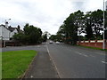
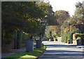
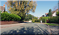
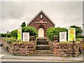
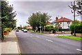
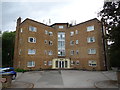
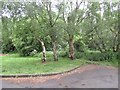
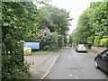
15 photos from this area
Area Information
Key information about the CH60 6RN including its size, population, and administrative classification.
- Area Type
- Postcode
- Area Size
- 1.5 hectares
- Population
- 1313
- Population Density
- 1323 people/km²
House Prices in CH60 6RN
21
Properties
£458,400
Average Sold Price
£181,500
Lowest Price
£647,500
Highest Price
Showing 21 properties
| Address | Type | Beds | Baths | Last Sale Price | Last Sale Date | |
|---|---|---|---|---|---|---|
| 295 Telegraph Road, Heswall, CH60 6RN | house | 5 | 2 | £647,500 | Jul 2024 | |
| 275 Telegraph Road, Heswall, CH60 6RN | Semi-detached | 3 | 2 | £410,000 | Jul 2021 | |
| 293 Telegraph Road, Heswall, CH60 6RN | Detached | 5 | - | £523,000 | Jun 2018 | |
| 281 Telegraph Road, Heswall, CH60 6RN | Detached | - | - | £530,000 | Jan 2009 | |
| 289 Telegraph Road, Heswall, CH60 6RN | house | - | - | £181,500 | Sep 1998 | |
| Apartment 4, Longview, 271 Telegraph Road, Heswall, CH60 6RN | Flat | 5 | 4 | - | - | |
| 279B Telegraph Road, Heswall, CH60 6RN | Flat | 2 | 2 | - | - | |
| Apartment 1, Longview, 271 Telegraph Road, Heswall, CH60 6RN | Detached | 5 | 3 | - | - | |
| Apartment 3, Longview, 271 Telegraph Road, Heswall, CH60 6RN | Flat | 5 | 4 | - | - | |
| Apartment 2, Longview, 271 Telegraph Road, Heswall, CH60 6RN | Detached | 5 | 4 | - | - |
Page 1 of 3
Energy Efficiency in CH60 6RN
Amenities
Schools
| Rank | School | Type | Entry gender | Ages |
|---|
Explore more schools in this area
Go to Schools tabDemographics
Household Size
One person
most common
Accommodation Type
Houses
most common
Tenure
69
majority
Ethnic Group
White
most common
Religion
N/A
most common
Household Composition
N/A
most common
Age
47
median
Adults (30-64 years)
most common
Household Deprivation
N/A
with no deprivation
NS-SEC
41
in Lower managerial occupations
Explore more demographic insights in this area
Go to Demographics tabPlanning
Planning Constraints
- Flood RiskPremium
- Ramsar Wetland SitesPremium
- Area of Outstanding Natural BeautyPremium
- Protected Nature ReservePremium
- Protected WoodlandPremium