Area Overview for CH60 1UD
Photos of CH60 1UD
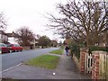
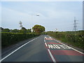
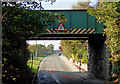
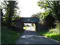
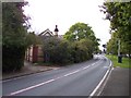
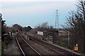
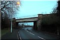
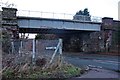

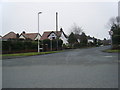
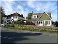
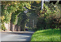
14 photos from this area
Area Information
Key information about the CH60 1UD including its size, population, and administrative classification.
- Area Type
- Postcode
- Area Size
- 5.8 hectares
- Population
- 1489
- Population Density
- 3072 people/km²
House Prices in CH60 1UD
17
Properties
£320,545
Average Sold Price
£115,000
Lowest Price
£662,500
Highest Price
Showing 17 properties
| Address | Type | Beds | Baths | Last Sale Price | Last Sale Date | |
|---|---|---|---|---|---|---|
| 35 Whitehouse Lane, Barnston, CH60 1UD | house | 4 | 1 | £662,500 | May 2024 | |
| Whiteoak, 17 Whitehouse Lane, Barnston, CH60 1UD | house | - | - | £525,000 | Dec 2021 | |
| 15 Whitehouse Lane, Barnston, CH60 1UD | house | 4 | 2 | £480,000 | Jan 2021 | |
| Byways, 13 Whitehouse Lane, Barnston, CH60 1UD | Detached | 3 | 2 | £369,995 | Jul 2016 | |
| Storlien, 1 Whitehouse Lane, Barnston, CH60 1UD | Detached | 4 | 3 | £450,000 | Apr 2016 | |
| 33 Whitehouse Lane, Barnston, CH60 1UD | Detached | 4 | 3 | £345,000 | Oct 2006 | |
| 29 Whitehouse Lane, Barnston, CH60 1UD | Detached | - | - | £137,000 | May 2002 | |
| 19 Whitehouse Lane, Barnston, CH60 1UD | Detached | 3 | 1 | £167,500 | Oct 2001 | |
| 25 Whitehouse Lane, Barnston, CH60 1UD | Detached | - | - | £147,000 | Sep 2000 | |
| 11 Whitehouse Lane, Barnston, CH60 1UD | Detached | - | - | £127,000 | Oct 1997 |
Page 1 of 2
Energy Efficiency in CH60 1UD
Amenities
Schools
| Rank | School | Type | Entry gender | Ages |
|---|
Explore more schools in this area
Go to Schools tabDemographics
Household Size
Two person
most common
Accommodation Type
Houses
most common
Tenure
93
majority
Ethnic Group
White
most common
Religion
N/A
most common
Household Composition
N/A
most common
Age
47
median
Adults (30-64 years)
most common
Household Deprivation
N/A
with no deprivation
NS-SEC
55
in Lower managerial occupations
Explore more demographic insights in this area
Go to Demographics tabPlanning
Planning Constraints
- Flood RiskPremium
- Ramsar Wetland SitesPremium
- Area of Outstanding Natural BeautyPremium
- Protected Nature ReservePremium
- Protected WoodlandPremium