Area Overview for CH49 7NF
Photos of CH49 7NF

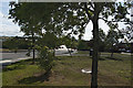
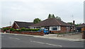
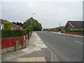
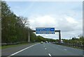
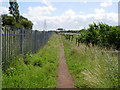

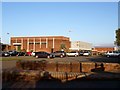
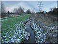
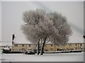
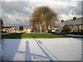
12 photos from this area
Area Information
Key information about the CH49 7NF including its size, population, and administrative classification.
- Area Type
- Postcode
- Area Size
- 1.0 hectares
- Population
- 1551
- Population Density
- 3029 people/km²
House Prices in CH49 7NF
29
Properties
£84,977
Average Sold Price
£34,000
Lowest Price
£130,000
Highest Price
Showing 29 properties
| Address | Type | Beds | Baths | Last Sale Price | Last Sale Date | |
|---|---|---|---|---|---|---|
| 160 New Hey Road, Woodchurch, CH49 7NF | Terraced | 3 | 1 | £130,000 | May 2022 | |
| 168 New Hey Road, Woodchurch, CH49 7NF | Terraced | 3 | 1 | £110,000 | Aug 2020 | |
| 159 New Hey Road, Woodchurch, CH49 7NF | Terraced | 3 | 1 | £112,000 | Oct 2018 | |
| 166 New Hey Road, Woodchurch, CH49 7NF | Terraced | 3 | 1 | £84,500 | Jan 2016 | |
| 164 New Hey Road, Woodchurch, CH49 7NF | house | - | - | £82,000 | Nov 2010 | |
| 162 New Hey Road, Woodchurch, CH49 7NF | house | - | - | £105,000 | Aug 2010 | |
| 176 New Hey Road, Woodchurch, CH49 7NF | Terraced | - | - | £125,000 | Aug 2007 | |
| 172 New Hey Road, Woodchurch, CH49 7NF | house | - | - | £80,000 | Jan 2007 | |
| 143 New Hey Road, Woodchurch, CH49 7NF | house | - | - | £34,750 | Jul 2001 | |
| 150 New Hey Road, Woodchurch, CH49 7NF | Terraced | 3 | 1 | £34,000 | Jun 2000 |
Page 1 of 3
Energy Efficiency in CH49 7NF
Amenities
Schools
| Rank | School | Type | Entry gender | Ages |
|---|
Explore more schools in this area
Go to Schools tabDemographics
Household Size
Family (3-5 people)
most common
Accommodation Type
Houses
most common
Tenure
41
majority
Ethnic Group
White
most common
Religion
N/A
most common
Household Composition
N/A
most common
Age
47
median
Adults (30-64 years)
most common
Household Deprivation
N/A
with no deprivation
NS-SEC
19
in Lower managerial occupations
Explore more demographic insights in this area
Go to Demographics tabPlanning
Planning Constraints
- Flood RiskPremium
- Ramsar Wetland SitesPremium
- Area of Outstanding Natural BeautyPremium
- Protected Nature ReservePremium
- Protected WoodlandPremium