Area Overview for CH49 5PH
Photos of CH49 5PH
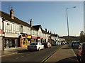
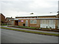
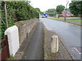
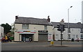
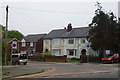
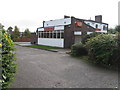
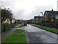
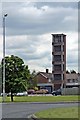
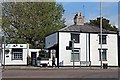
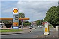
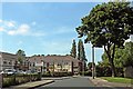
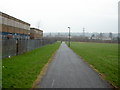
20 photos from this area
Area Information
Key information about the CH49 5PH including its size, population, and administrative classification.
- Area Type
- Postcode
- Area Size
- 1.6 hectares
- Population
- Not available
- Population Density
- Not available
House Prices in CH49 5PH
29
Properties
£158,638
Average Sold Price
£78,500
Lowest Price
£299,950
Highest Price
Showing 29 properties
| Address | Type | Beds | Baths | Last Sale Price | Last Sale Date | |
|---|---|---|---|---|---|---|
| 10 Fletcher Close, Woodchurch, CH49 5PH | Detached | 4 | 3 | £249,000 | Jun 2025 | |
| 24 Fletcher Close, Woodchurch, CH49 5PH | house | - | - | £299,950 | Feb 2023 | |
| 11 Fletcher Close, Woodchurch, CH49 5PH | house | - | - | £260,000 | Nov 2020 | |
| 18 Fletcher Close, Woodchurch, CH49 5PH | Detached | 4 | 1 | £233,000 | Jun 2020 | |
| 30 Fletcher Close, Woodchurch, CH49 5PH | house | - | - | £227,000 | Jan 2019 | |
| 21 Fletcher Close, Woodchurch, CH49 5PH | house | - | - | £222,500 | Dec 2018 | |
| 5 Fletcher Close, Woodchurch, CH49 5PH | Detached | 4 | - | £195,000 | Mar 2018 | |
| 19 Fletcher Close, Woodchurch, CH49 5PH | Detached | 4 | - | £193,500 | Mar 2018 | |
| 25 Fletcher Close, Woodchurch, CH49 5PH | Detached | 3 | 1 | £197,000 | Feb 2018 | |
| 7 Fletcher Close, Woodchurch, CH49 5PH | house | - | - | £234,500 | Sep 2017 |
Page 1 of 3
Energy Efficiency in CH49 5PH
Amenities
Schools
| Rank | School | Type | Entry gender | Ages |
|---|
Explore more schools in this area
Go to Schools tabDemographics
Household Size
One person
most common
Accommodation Type
Houses
most common
Tenure
75
majority
Ethnic Group
White
most common
Religion
N/A
most common
Household Composition
N/A
most common
Age
47
median
Adults (30-64 years)
most common
Household Deprivation
N/A
with no deprivation
NS-SEC
28
in Lower managerial occupations
Explore more demographic insights in this area
Go to Demographics tabPlanning
Planning Constraints
- Flood RiskPremium
- Ramsar Wetland SitesPremium
- Area of Outstanding Natural BeautyPremium
- Protected Nature ReservePremium
- Protected WoodlandPremium