Area Overview for CH49 3QJ
Photos of CH49 3QJ
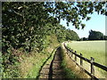
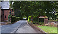
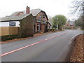
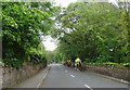
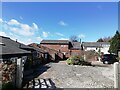
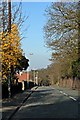
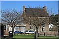
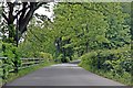

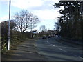
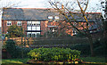
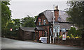
39 photos from this area
Area Information
Key information about the CH49 3QJ including its size, population, and administrative classification.
- Area Type
- Postcode
- Area Size
- 7876 m²
- Population
- 1320
- Population Density
- 557 people/km²
House Prices in CH49 3QJ
15
Properties
£244,720
Average Sold Price
£106,000
Lowest Price
£390,000
Highest Price
Showing 15 properties
| Address | Type | Beds | Baths | Last Sale Price | Last Sale Date | |
|---|---|---|---|---|---|---|
| 14 Whitebeam Walk, Greasby, CH49 3QJ | house | 3 | 2 | £355,000 | May 2024 | |
| 9 Whitebeam Walk, Greasby, CH49 3QJ | house | - | - | £390,000 | Aug 2022 | |
| 6 Whitebeam Walk, Greasby, CH49 3QJ | Detached | 3 | 1 | £310,000 | Aug 2020 | |
| 12 Whitebeam Walk, Greasby, CH49 3QJ | Detached | 4 | - | £275,000 | Aug 2015 | |
| 15 Whitebeam Walk, Greasby, CH49 3QJ | Detached | - | - | £244,000 | Mar 2007 | |
| 2 Whitebeam Walk, Greasby, CH49 3QJ | house | - | - | £275,200 | Aug 2005 | |
| 7 Whitebeam Walk, Greasby, CH49 3QJ | Detached | - | - | £245,000 | May 2004 | |
| 16 Whitebeam Walk, Greasby, CH49 3QJ | Detached | - | - | £137,000 | Aug 2000 | |
| 10 Whitebeam Walk, Greasby, CH49 3QJ | house | 4 | 1 | £106,000 | Sep 1998 | |
| 3 Whitebeam Walk, Greasby, CH49 3QJ | Detached | - | - | £110,000 | Aug 1995 |
Page 1 of 2
Energy Efficiency in CH49 3QJ
Amenities
Schools
| Rank | School | Type | Entry gender | Ages |
|---|
Explore more schools in this area
Go to Schools tabDemographics
Household Size
Two person
most common
Accommodation Type
Houses
most common
Tenure
91
majority
Ethnic Group
White
most common
Religion
N/A
most common
Household Composition
N/A
most common
Age
47
median
Elderly (65+ years)
most common
Household Deprivation
N/A
with no deprivation
NS-SEC
44
in Lower managerial occupations
Explore more demographic insights in this area
Go to Demographics tabPlanning
Planning Constraints
- Flood RiskPremium
- Ramsar Wetland SitesPremium
- Area of Outstanding Natural BeautyPremium
- Protected Nature ReservePremium
- Protected WoodlandPremium