Area Overview for CH49 3GT
Photos of CH49 3GT
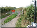
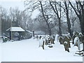
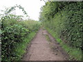
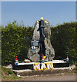
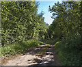
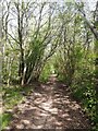
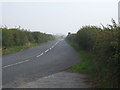
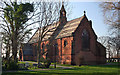
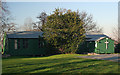
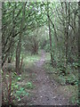
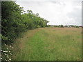
35 photos from this area
Area Information
Key information about the CH49 3GT including its size, population, and administrative classification.
- Area Type
- Postcode
- Area Size
- 64.1 hectares
- Population
- 1294
- Population Density
- 1180 people/km²
House Prices in CH49 3GT
40
Properties
£234,060
Average Sold Price
£71,950
Lowest Price
£390,000
Highest Price
Showing 40 properties
| Address | Type | Beds | Baths | Last Sale Price | Last Sale Date | |
|---|---|---|---|---|---|---|
| 29 Ashdale Park, Greasby, CH49 3GT | Bungalow | 3 | 1 | £340,000 | Aug 2025 | |
| 15 Ashdale Park, Greasby, CH49 3GT | Bungalow | 3 | 1 | £315,000 | Aug 2025 | |
| 19 Ashdale Park, Greasby, CH49 3GT | Bungalow | 3 | 2 | £380,000 | Mar 2025 | |
| 22 Ashdale Park, Greasby, CH49 3GT | Bungalow | - | - | £315,000 | Mar 2025 | |
| 38 Ashdale Park, Greasby, CH49 3GT | Bungalow | 3 | 2 | £330,000 | Mar 2025 | |
| 33 Ashdale Park, Greasby, CH49 3GT | Bungalow | 3 | 1 | £340,000 | Nov 2024 | |
| 37 Ashdale Park, Greasby, CH49 3GT | Bungalow | 3 | 1 | £325,000 | Aug 2024 | |
| 11 Ashdale Park, Greasby, CH49 3GT | Bungalow | - | - | £300,000 | Jan 2024 | |
| 35 Ashdale Park, Greasby, CH49 3GT | Bungalow | - | - | £337,535 | Nov 2022 | |
| 5 Ashdale Park, Greasby, CH49 3GT | Bungalow | - | - | £232,000 | Oct 2022 |
Page 1 of 4
Energy Efficiency in CH49 3GT
Amenities
Schools
| Rank | School | Type | Entry gender | Ages |
|---|
Explore more schools in this area
Go to Schools tabDemographics
Household Size
One person
most common
Accommodation Type
Houses
most common
Tenure
84
majority
Ethnic Group
White
most common
Religion
N/A
most common
Household Composition
N/A
most common
Age
47
median
Elderly (65+ years)
most common
Household Deprivation
N/A
with no deprivation
NS-SEC
40
in Lower managerial occupations
Explore more demographic insights in this area
Go to Demographics tabPlanning
Planning Constraints
- Flood RiskPremium
- Ramsar Wetland SitesPremium
- Area of Outstanding Natural BeautyPremium
- Protected Nature ReservePremium
- Protected WoodlandPremium