Area Overview for CH49 2SW
Photos of CH49 2SW
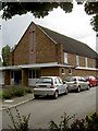
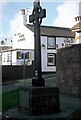
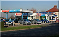
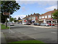
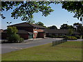

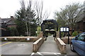
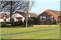
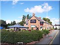
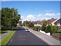
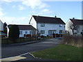
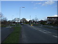
37 photos from this area
Area Information
Key information about the CH49 2SW including its size, population, and administrative classification.
- Area Type
- Postcode
- Area Size
- 7663 m²
- Population
- 1348
- Population Density
- 1949 people/km²
House Prices in CH49 2SW
14
Properties
£143,706
Average Sold Price
£47,995
Lowest Price
£220,750
Highest Price
Showing 14 properties
| Address | Type | Beds | Baths | Last Sale Price | Last Sale Date | |
|---|---|---|---|---|---|---|
| 8 The Barncroft, Greasby, CH49 2SW | house | - | - | £220,750 | Nov 2022 | |
| 3 The Barncroft, Greasby, CH49 2SW | Semi-detached | 3 | 1 | £220,000 | Jun 2022 | |
| 6 The Barncroft, Greasby, CH49 2SW | house | - | - | £203,000 | Jul 2021 | |
| 16 The Barncroft, Greasby, CH49 2SW | house | - | - | £162,500 | Aug 2020 | |
| 11 The Barncroft, Greasby, CH49 2SW | Semi-detached | 3 | - | £170,000 | Aug 2018 | |
| 9 The Barncroft, Greasby, CH49 2SW | Semi-detached | 3 | 2 | £187,000 | Apr 2018 | |
| 5 The Barncroft, Greasby, CH49 2SW | Semi-detached | 3 | 2 | £182,500 | Feb 2018 | |
| 1 The Barncroft, Greasby, CH49 2SW | Semi-detached | 3 | 1 | £164,950 | Apr 2016 | |
| 12 The Barncroft, Greasby, CH49 2SW | Semi-detached | 3 | - | £169,950 | Jan 2016 | |
| 7 The Barncroft, Greasby, CH49 2SW | Semi-detached | - | - | £104,950 | Nov 2002 |
Page 1 of 2
Energy Efficiency in CH49 2SW
Amenities
Schools
| Rank | School | Type | Entry gender | Ages |
|---|
Explore more schools in this area
Go to Schools tabDemographics
Household Size
Two person
most common
Accommodation Type
Houses
most common
Tenure
91
majority
Ethnic Group
White
most common
Religion
N/A
most common
Household Composition
N/A
most common
Age
47
median
Adults (30-64 years)
most common
Household Deprivation
N/A
with no deprivation
NS-SEC
42
in Lower managerial occupations
Explore more demographic insights in this area
Go to Demographics tabPlanning
Planning Constraints
- Flood RiskPremium
- Ramsar Wetland SitesPremium
- Area of Outstanding Natural BeautyPremium
- Protected Nature ReservePremium
- Protected WoodlandPremium