Area Overview for CH49 2PN
Photos of CH49 2PN
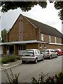
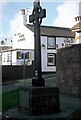

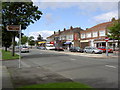
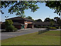

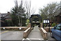
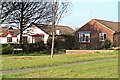
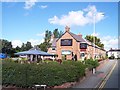
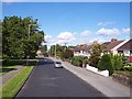
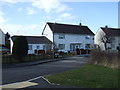
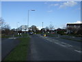
37 photos from this area
Area Information
Key information about the CH49 2PN including its size, population, and administrative classification.
- Area Type
- Postcode
- Area Size
- 1.0 hectares
- Population
- 1414
- Population Density
- 4555 people/km²
House Prices in CH49 2PN
16
Properties
£185,106
Average Sold Price
£75,000
Lowest Price
£350,000
Highest Price
Showing 16 properties
| Address | Type | Beds | Baths | Last Sale Price | Last Sale Date | |
|---|---|---|---|---|---|---|
| 222 Greasby Road, Greasby, CH49 2PN | house | - | - | £350,000 | Aug 2022 | |
| 218 Greasby Road, Greasby, CH49 2PN | Detached | 4 | 2 | £255,000 | Aug 2022 | |
| 196 Greasby Road, Greasby, CH49 2PN | Detached | 3 | - | £205,500 | Nov 2017 | |
| 208 Greasby Road, Greasby, CH49 2PN | house | - | - | £199,950 | Feb 2017 | |
| 210 Greasby Road, Greasby, CH49 2PN | house | - | - | £220,000 | Jan 2015 | |
| 198 Greasby Road, Greasby, CH49 2PN | Semi-detached | - | - | £180,000 | Jul 2006 | |
| 214 Greasby Road, Greasby, CH49 2PN | Semi-detached | - | - | £105,000 | Jan 2001 | |
| 200 Greasby Road, Greasby, CH49 2PN | Semi-detached | - | - | £75,500 | Mar 1999 | |
| 224 Greasby Road, Greasby, CH49 2PN | Semi-detached | 3 | 1 | £75,000 | Aug 1998 | |
| 194 Greasby Road, Greasby, CH49 2PN | Land | - | - | - | - |
Page 1 of 2
Energy Efficiency in CH49 2PN
Amenities
Schools
| Rank | School | Type | Entry gender | Ages |
|---|
Explore more schools in this area
Go to Schools tabDemographics
Household Size
Two person
most common
Accommodation Type
Houses
most common
Tenure
79
majority
Ethnic Group
White
most common
Religion
N/A
most common
Household Composition
N/A
most common
Age
47
median
Adults (30-64 years)
most common
Household Deprivation
N/A
with no deprivation
NS-SEC
41
in Lower managerial occupations
Explore more demographic insights in this area
Go to Demographics tabPlanning
Planning Constraints
- Flood RiskPremium
- Ramsar Wetland SitesPremium
- Area of Outstanding Natural BeautyPremium
- Protected Nature ReservePremium
- Protected WoodlandPremium