Area Overview for CH49 0WD
Photos of CH49 0WD
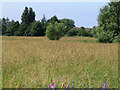
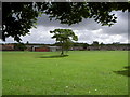
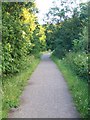
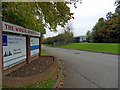
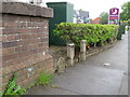
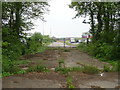
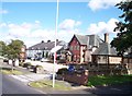
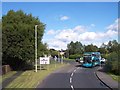
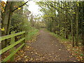
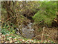
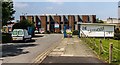
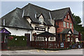
17 photos from this area
Area Information
Key information about the CH49 0WD including its size, population, and administrative classification.
- Area Type
- Postcode
- Area Size
- 2.6 hectares
- Population
- 1926
- Population Density
- 2479 people/km²
House Prices in CH49 0WD
59
Properties
£216,278
Average Sold Price
£139,950
Lowest Price
£440,000
Highest Price
Showing 59 properties
| Address | Type | Beds | Baths | Last Sale Price | Last Sale Date | |
|---|---|---|---|---|---|---|
| 37 Atholl Duncan Drive, Upton, CH49 0WD | Flat | - | - | £160,000 | Nov 2025 | |
| 115 Atholl Duncan Drive, Upton, CH49 0WD | Detached | 5 | 3 | £440,000 | Jun 2025 | |
| 9 Atholl Duncan Drive, Upton, CH49 0WD | Detached | 4 | 3 | £425,000 | Mar 2025 | |
| 85 Atholl Duncan Drive, Upton, CH49 0WD | Flat | - | - | £185,000 | Sep 2024 | |
| 109 Atholl Duncan Drive, Upton, CH49 0WD | Detached | 5 | 1 | £330,000 | Feb 2024 | |
| 107 Atholl Duncan Drive, Upton, CH49 0WD | Flat | 2 | 2 | £170,000 | Dec 2023 | |
| 15 Atholl Duncan Drive, Upton, CH49 0WD | house | - | - | £300,000 | Jul 2023 | |
| 87 Atholl Duncan Drive, Upton, CH49 0WD | Flat | - | - | £155,000 | Jun 2023 | |
| 93 Atholl Duncan Drive, Upton, CH49 0WD | Flat | - | - | £167,000 | Sep 2022 | |
| 53 Atholl Duncan Drive, Upton, CH49 0WD | Terraced | 4 | 2 | £239,000 | Jul 2022 |
Page 1 of 6
Energy Efficiency in CH49 0WD
Amenities
Schools
| Rank | School | Type | Entry gender | Ages |
|---|
Explore more schools in this area
Go to Schools tabDemographics
Household Size
One person
most common
Accommodation Type
Houses
most common
Tenure
67
majority
Ethnic Group
White
most common
Religion
N/A
most common
Household Composition
N/A
most common
Age
47
median
Adults (30-64 years)
most common
Household Deprivation
N/A
with no deprivation
NS-SEC
32
in Lower managerial occupations
Explore more demographic insights in this area
Go to Demographics tabPlanning
Planning Constraints
- Flood RiskPremium
- Ramsar Wetland SitesPremium
- Area of Outstanding Natural BeautyPremium
- Protected Nature ReservePremium
- Protected WoodlandPremium