Area Overview for CH49 0UF
Photos of CH49 0UF
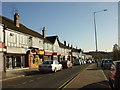
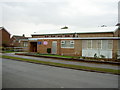
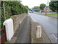
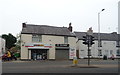
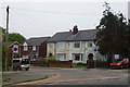
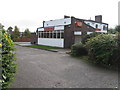
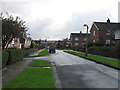
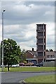
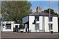
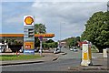
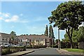
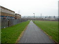
20 photos from this area
Area Information
Key information about the CH49 0UF including its size, population, and administrative classification.
- Area Type
- Postcode
- Area Size
- 1.3 hectares
- Population
- 1926
- Population Density
- 2479 people/km²
House Prices in CH49 0UF
8
Properties
£270,667
Average Sold Price
£172,000
Lowest Price
£440,000
Highest Price
Showing 8 properties
| Address | Type | Beds | Baths | Last Sale Price | Last Sale Date | |
|---|---|---|---|---|---|---|
| 53 Arrowe Park Road, Upton, CH49 0UF | Semi-detached | 3 | 1 | £172,000 | Oct 2023 | |
| 55 Arrowe Park Road, Upton, CH49 0UF | Semi-detached | 3 | 1 | £200,000 | Nov 2022 | |
| 2, Territa, Fire Station House, Arrowe Park Road, Upton, CH49 0UF | Detached | - | - | £440,000 | Oct 2019 | |
| 1, Fire Station House, Arrowe Park Road, Upton, CH49 0UF | Detached | - | - | - | - | |
| 57 Arrowe Park Road, Upton, CH49 0UF | Semi-detached | - | - | - | - | |
| 51 Arrowe Park Road, Upton, CH49 0UF | Semi-detached | - | - | - | - | |
| Driving Test Centre, Arrowe Park Road, Upton, CH49 0UF | Office | - | - | - | - | |
| Mot Express, 53 Arrowe Park Road, Upton, CH49 0UF | Industrial | - | - | - | - |
Energy Efficiency in CH49 0UF
Amenities
Schools
| Rank | School | Type | Entry gender | Ages |
|---|
Explore more schools in this area
Go to Schools tabDemographics
Household Size
One person
most common
Accommodation Type
Houses
most common
Tenure
67
majority
Ethnic Group
White
most common
Religion
N/A
most common
Household Composition
N/A
most common
Age
47
median
Adults (30-64 years)
most common
Household Deprivation
N/A
with no deprivation
NS-SEC
32
in Lower managerial occupations
Explore more demographic insights in this area
Go to Demographics tabPlanning
Planning Constraints
- Flood RiskPremium
- Ramsar Wetland SitesPremium
- Area of Outstanding Natural BeautyPremium
- Protected Nature ReservePremium
- Protected WoodlandPremium