Area Overview for CH49 0TG
Photos of CH49 0TG

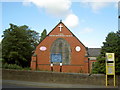
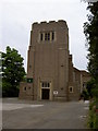
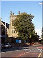
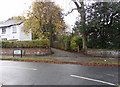
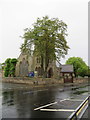
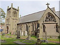
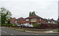
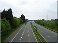

43 photos from this area
Area Information
Key information about the CH49 0TG including its size, population, and administrative classification.
- Area Type
- Postcode
- Area Size
- 2.9 hectares
- Population
- 1519
- Population Density
- 2616 people/km²
House Prices in CH49 0TG
19
Properties
£348,111
Average Sold Price
£120,000
Lowest Price
£450,000
Highest Price
Showing 19 properties
| Address | Type | Beds | Baths | Last Sale Price | Last Sale Date | |
|---|---|---|---|---|---|---|
| 78 Ford Road, Upton, CH49 0TG | Detached | 3 | 1 | £435,000 | Jan 2021 | |
| 70 Ford Road, Upton, CH49 0TG | house | - | - | £450,000 | Dec 2018 | |
| 84 Ford Road, Upton, CH49 0TG | Detached | 4 | 2 | £368,000 | May 2018 | |
| 76 Ford Road, Upton, CH49 0TG | house | - | - | £425,000 | Dec 2017 | |
| 80 Ford Road, Upton, CH49 0TG | Detached | 5 | 1 | £330,000 | Jul 2016 | |
| 56 Ford Road, Upton, CH49 0TG | house | - | - | £230,000 | Nov 2012 | |
| Oaklands, 72 Ford Road, Upton, CH49 0TG | Detached | 5 | 3 | £440,000 | Apr 2011 | |
| 68 Ford Road, Upton, CH49 0TG | house | - | - | £335,000 | Jul 2009 | |
| 64 Ford Road, Upton, CH49 0TG | Semi-detached | - | - | £120,000 | Dec 1996 | |
| Annexe, 82 Ford Road, Upton, CH49 0TG | Detached | - | - | - | - |
Page 1 of 2
Energy Efficiency in CH49 0TG
Amenities
Schools
| Rank | School | Type | Entry gender | Ages |
|---|
Explore more schools in this area
Go to Schools tabDemographics
Household Size
Two person
most common
Accommodation Type
Houses
most common
Tenure
93
majority
Ethnic Group
White
most common
Religion
N/A
most common
Household Composition
N/A
most common
Age
47
median
Adults (30-64 years)
most common
Household Deprivation
N/A
with no deprivation
NS-SEC
45
in Lower managerial occupations
Explore more demographic insights in this area
Go to Demographics tabPlanning
Planning Constraints
- Flood RiskPremium
- Ramsar Wetland SitesPremium
- Area of Outstanding Natural BeautyPremium
- Protected Nature ReservePremium
- Protected WoodlandPremium