Area Overview for CH48 2JB
Photos of CH48 2JB
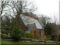
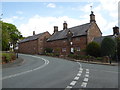
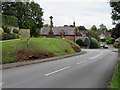
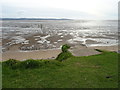
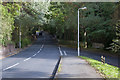
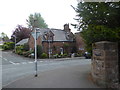
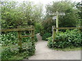
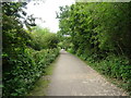
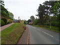
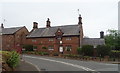
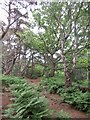
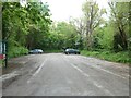
56 photos from this area
Area Information
Key information about the CH48 2JB including its size, population, and administrative classification.
- Area Type
- Postcode
- Area Size
- 2.1 hectares
- Population
- 1341
- Population Density
- 1884 people/km²
House Prices in CH48 2JB
22
Properties
£435,271
Average Sold Price
£208,000
Lowest Price
£973,100
Highest Price
Showing 22 properties
| Address | Type | Beds | Baths | Last Sale Price | Last Sale Date | |
|---|---|---|---|---|---|---|
| 2 Melloncroft Drive, Caldy, CH48 2JB | Detached | 3 | 2 | £973,100 | Jan 2025 | |
| Pinelea, 6A Melloncroft Drive, Caldy, CH48 2JB | Bungalow | - | - | £700,000 | Jun 2022 | |
| 10 Melloncroft Drive, Caldy, CH48 2JB | house | - | - | £650,000 | Mar 2022 | |
| Greenhaven, 12 Melloncroft Drive, Caldy, CH48 2JB | Detached | 3 | 1 | £650,000 | Jan 2022 | |
| 22 Melloncroft Drive, Caldy, CH48 2JB | house | - | - | £475,000 | Mar 2018 | |
| 34 Melloncroft Drive, West Kirby, CH48 2JB | Bungalow | - | - | £435,000 | Jul 2017 | |
| 8 Melloncroft Drive, Caldy, CH48 2JB | house | - | - | £390,000 | May 2010 | |
| 16 Melloncroft Drive, Caldy, CH48 2JB | house | - | - | £368,000 | Jun 2009 | |
| 32 Melloncroft Drive, Caldy, CH48 2JB | Detached | - | - | £395,000 | Feb 2007 | |
| 40 Melloncroft Drive, West Kirby, CH48 2JB | Detached | - | - | £370,000 | Sep 2006 |
Page 1 of 3
Energy Efficiency in CH48 2JB
Amenities
Schools
| Rank | School | Type | Entry gender | Ages |
|---|
Explore more schools in this area
Go to Schools tabDemographics
Household Size
Two person
most common
Accommodation Type
Houses
most common
Tenure
83
majority
Ethnic Group
White
most common
Religion
N/A
most common
Household Composition
N/A
most common
Age
47
median
Adults (30-64 years)
most common
Household Deprivation
N/A
with no deprivation
NS-SEC
55
in Lower managerial occupations
Explore more demographic insights in this area
Go to Demographics tabPlanning
Planning Constraints
- Flood RiskPremium
- Ramsar Wetland SitesPremium
- Area of Outstanding Natural BeautyPremium
- Protected Nature ReservePremium
- Protected WoodlandPremium