Area Overview for CH48 1LS
Photos of CH48 1LS
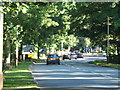
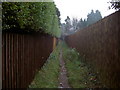

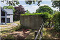
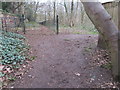
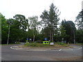
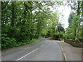
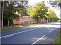
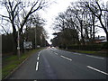
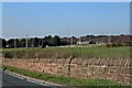
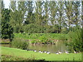
16 photos from this area
Area Information
Key information about the CH48 1LS including its size, population, and administrative classification.
- Area Type
- Postcode
- Area Size
- 5.5 hectares
- Population
- 1229
- Population Density
- 425 people/km²
House Prices in CH48 1LS
19
Properties
£773,500
Average Sold Price
£148,000
Lowest Price
£1,550,000
Highest Price
Showing 19 properties
| Address | Type | Beds | Baths | Last Sale Price | Last Sale Date | |
|---|---|---|---|---|---|---|
| 44 Croft Drive East, Caldy, CH48 1LS | Detached | - | - | £685,000 | Feb 2023 | |
| The Malverns, 40 Croft Drive East, Caldy, CH48 1LS | Detached | 5 | 6 | £1,550,000 | Feb 2021 | |
| Serena, 42 Croft Drive East, Caldy, CH48 1LS | house | - | - | £575,000 | Oct 2020 | |
| October House, 14 Croft Drive East, Caldy, CH48 1LS | Detached | 4 | 2 | £790,000 | Nov 2016 | |
| 38 Croft Drive East, Caldy, CH48 1LS | Detached | 4 | 1 | £1,475,000 | Nov 2016 | |
| Pipers Moon, 20 Croft Drive East, Caldy, CH48 1LS | house | - | - | £765,000 | May 2011 | |
| Woodlands, 22 Croft Drive East, Caldy, CH48 1LS | Detached | - | - | £200,000 | Apr 1996 | |
| The Firs, 28 Croft Drive East, Caldy, CH48 1LS | Detached | - | - | £148,000 | Mar 1996 | |
| Drayton, 46 Croft Drive East, Caldy, CH48 1LS | Detached | 5 | 3 | - | - | |
| Woodlea, 18 Croft Drive East, Caldy, CH48 1LS | Detached | 4 | - | - | - |
Page 1 of 2
Energy Efficiency in CH48 1LS
Amenities
Schools
| Rank | School | Type | Entry gender | Ages |
|---|
Explore more schools in this area
Go to Schools tabDemographics
Household Size
Two person
most common
Accommodation Type
Houses
most common
Tenure
95
majority
Ethnic Group
White
most common
Religion
N/A
most common
Household Composition
N/A
most common
Age
47
median
Adults (30-64 years)
most common
Household Deprivation
N/A
with no deprivation
NS-SEC
54
in Lower managerial occupations
Explore more demographic insights in this area
Go to Demographics tabPlanning
Planning Constraints
- Flood RiskPremium
- Ramsar Wetland SitesPremium
- Area of Outstanding Natural BeautyPremium
- Protected Nature ReservePremium
- Protected WoodlandPremium