Area Overview for CH48 0RT
Photos of CH48 0RT

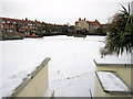
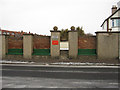
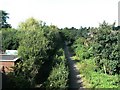
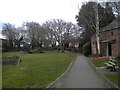
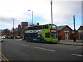
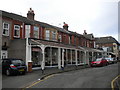
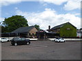
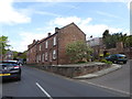

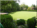
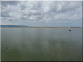
100 photos from this area
Area Information
Key information about the CH48 0RT including its size, population, and administrative classification.
- Area Type
- Postcode
- Area Size
- 3539 m²
- Population
- 1324
- Population Density
- 3788 people/km²
House Prices in CH48 0RT
21
Properties
£225,853
Average Sold Price
£50,000
Lowest Price
£421,275
Highest Price
Showing 21 properties
| Address | Type | Beds | Baths | Last Sale Price | Last Sale Date | |
|---|---|---|---|---|---|---|
| 14 Alexandra Road, West Kirby, CH48 0RT | Terraced | 3 | 1 | £330,000 | May 2025 | |
| 13 Alexandra Road, West Kirby, CH48 0RT | house | - | - | £421,275 | Mar 2025 | |
| 20 Alexandra Road, West Kirby, CH48 0RT | Terraced | 3 | - | £345,000 | Feb 2021 | |
| 1 Alexandra Road, West Kirby, CH48 0RT | house | - | - | £268,000 | Apr 2019 | |
| 10 Alexandra Road, West Kirby, CH48 0RT | Terraced | 3 | 1 | £250,000 | Oct 2018 | |
| 4 Alexandra Road, West Kirby, CH48 0RT | house | - | - | £243,500 | Mar 2016 | |
| 2 Alexandra Road, West Kirby, CH48 0RT | house | - | - | £213,797 | May 2012 | |
| 15 Alexandra Road, West Kirby, CH48 0RT | house | - | - | £175,000 | Aug 2010 | |
| 9 Alexandra Road, West Kirby, CH48 0RT | house | - | - | £227,700 | Jun 2010 | |
| 7 Alexandra Road, West Kirby, CH48 0RT | Terraced | - | - | £270,000 | Aug 2007 |
Page 1 of 3
Energy Efficiency in CH48 0RT
Amenities
Schools
| Rank | School | Type | Entry gender | Ages |
|---|
Explore more schools in this area
Go to Schools tabDemographics
Household Size
One person
most common
Accommodation Type
Houses
most common
Tenure
72
majority
Ethnic Group
White
most common
Religion
N/A
most common
Household Composition
N/A
most common
Age
47
median
Adults (30-64 years)
most common
Household Deprivation
N/A
with no deprivation
NS-SEC
43
in Lower managerial occupations
Explore more demographic insights in this area
Go to Demographics tabPlanning
Planning Constraints
- Flood RiskPremium
- Ramsar Wetland SitesPremium
- Area of Outstanding Natural BeautyPremium
- Protected Nature ReservePremium
- Protected WoodlandPremium