Area Overview for CH48 0QT
Photos of CH48 0QT

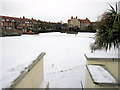
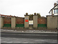
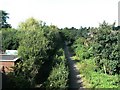
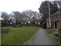
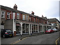
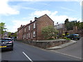

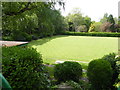
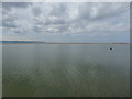
100 photos from this area
Area Information
Key information about the CH48 0QT including its size, population, and administrative classification.
- Area Type
- Postcode
- Area Size
- 6679 m²
- Population
- Not available
- Population Density
- Not available
House Prices in CH48 0QT
44
Properties
£220,000
Average Sold Price
£57,000
Lowest Price
£555,000
Highest Price
Showing 44 properties
| Address | Type | Beds | Baths | Last Sale Price | Last Sale Date | |
|---|---|---|---|---|---|---|
| 10 Victoria Drive, West Kirby, CH48 0QT | Flat | - | - | £250,000 | Jan 2024 | |
| 32 Victoria Drive, West Kirby, CH48 0QT | Flat | - | - | £355,000 | Aug 2023 | |
| 18A Victoria Drive, West Kirby, CH48 0QT | Flat | - | - | £320,000 | Jun 2022 | |
| 18 Victoria Drive, West Kirby, CH48 0QT | Flat | 1 | 1 | £200,000 | Jun 2022 | |
| 22 Victoria Drive, West Kirby, CH48 0QT | Terraced | 6 | 2 | £555,000 | Dec 2020 | |
| 26 Victoria Drive, West Kirby, CH48 0QT | Flat | - | - | £250,000 | Sep 2016 | |
| 12A Victoria Drive, West Kirby, CH48 0QT | Flat | 4 | 1 | £118,000 | Oct 2013 | |
| 2A Victoria Drive, West Kirby, CH48 0QT | Flat | 5 | - | £215,000 | Aug 2013 | |
| 2B Victoria Drive, West Kirby, CH48 0QT | Maisonette | 4 | - | £197,000 | Dec 2005 | |
| 10A Victoria Drive, West Kirby, CH48 0QT | Flat | - | - | £170,000 | May 2005 |
Page 1 of 5
Energy Efficiency in CH48 0QT
Amenities
Schools
| Rank | School | Type | Entry gender | Ages |
|---|
Explore more schools in this area
Go to Schools tabDemographics
Household Size
One person
most common
Accommodation Type
Flats
most common
Tenure
65
majority
Ethnic Group
White
most common
Religion
N/A
most common
Household Composition
N/A
most common
Age
47
median
Adults (30-64 years)
most common
Household Deprivation
N/A
with no deprivation
NS-SEC
48
in Lower managerial occupations
Explore more demographic insights in this area
Go to Demographics tabPlanning
Planning Constraints
- Flood RiskPremium
- Ramsar Wetland SitesPremium
- Area of Outstanding Natural BeautyPremium
- Protected Nature ReservePremium
- Protected WoodlandPremium