Area Overview for CH47 0NH
Photos of CH47 0NH
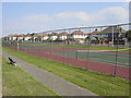
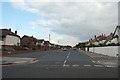
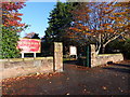
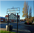
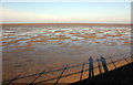
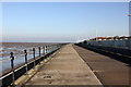
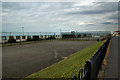
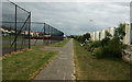
28 photos from this area
Area Information
Key information about the CH47 0NH including its size, population, and administrative classification.
- Area Type
- Postcode
- Area Size
- 7475 m²
- Population
- 1620
- Population Density
- 3995 people/km²
House Prices in CH47 0NH
20
Properties
£280,420
Average Sold Price
£38,000
Lowest Price
£580,000
Highest Price
Showing 20 properties
| Address | Type | Beds | Baths | Last Sale Price | Last Sale Date | |
|---|---|---|---|---|---|---|
| 4 Kings Avenue, Meols, CH47 0NH | Semi-detached | 5 | 3 | £550,000 | Sep 2024 | |
| 13 Kings Avenue, Meols, CH47 0NH | house | - | - | £580,000 | May 2024 | |
| 6 Kings Avenue, Meols, CH47 0NH | house | - | - | £372,000 | Jun 2021 | |
| 7 Kings Avenue, Meols, CH47 0NH | Semi-detached | 6 | 2 | £430,000 | Feb 2020 | |
| 12 Kings Avenue, Meols, CH47 0NH | house | - | - | £319,700 | Jul 2007 | |
| 11 Kings Avenue, Meols, CH47 0NH | Flat | - | - | £139,500 | Feb 2007 | |
| 16 Kings Avenue, Meols, CH47 0NH | Detached | - | - | £150,000 | Sep 2005 | |
| 14 Kings Avenue, Meols, CH47 0NH | Detached | - | - | £136,000 | Aug 1999 | |
| 9 Kings Avenue, Meols, CH47 0NH | Flat | - | - | £38,000 | Apr 1997 | |
| 10 Kings Avenue, Meols, CH47 0NH | Semi-detached | - | - | £89,000 | Aug 1996 |
Page 1 of 2
Energy Efficiency in CH47 0NH
Amenities
Schools
| Rank | School | Type | Entry gender | Ages |
|---|
Explore more schools in this area
Go to Schools tabDemographics
Household Size
Family (3-5 people)
most common
Accommodation Type
Houses
most common
Tenure
91
majority
Ethnic Group
White
most common
Religion
N/A
most common
Household Composition
N/A
most common
Age
47
median
Adults (30-64 years)
most common
Household Deprivation
N/A
with no deprivation
NS-SEC
53
in Lower managerial occupations
Explore more demographic insights in this area
Go to Demographics tabPlanning
Planning Constraints
- Flood RiskPremium
- Ramsar Wetland SitesPremium
- Area of Outstanding Natural BeautyPremium
- Protected Nature ReservePremium
- Protected WoodlandPremium