Area Overview for CH46 7TN
Photos of CH46 7TN
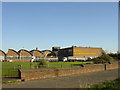
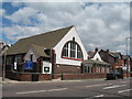
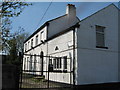
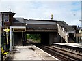
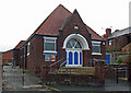
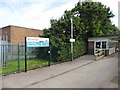
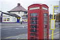
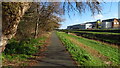
38 photos from this area
Area Information
Key information about the CH46 7TN including its size, population, and administrative classification.
- Area Type
- Postcode
- Area Size
- 5457 m²
- Population
- 1524
- Population Density
- 2864 people/km²
House Prices in CH46 7TN
10
Properties
£135,750
Average Sold Price
£65,000
Lowest Price
£220,000
Highest Price
Showing 10 properties
| Address | Type | Beds | Baths | Last Sale Price | Last Sale Date | |
|---|---|---|---|---|---|---|
| 7 Barnston Lane, Moreton, CH46 7TN | Terraced | 3 | 1 | £136,000 | May 2025 | |
| 27 Barnston Lane, Moreton, CH46 7TN | Bungalow | 3 | 1 | £220,000 | Dec 2024 | |
| 9 Barnston Lane, Moreton, CH46 7TN | Terraced | 3 | 1 | £122,000 | Jul 2006 | |
| 29 Barnston Lane, Moreton, CH46 7TN | Detached | - | - | £65,000 | Sep 1999 | |
| Cozee Care Homes Limited, Barnston Court Care Home, 21 Barnston Lane, Moreton, CH46 7TN | Semi-detached | 3 | 2 | - | - | |
| The Top Table Bridal Studio, 3 Barnston Lane, Moreton, CH46 7TN | shop | - | - | - | - | |
| Springfield, 23 Barnston Lane, Moreton, CH46 7TN | Semi-detached | - | - | - | - | |
| 31 Barnston Lane, Moreton, CH46 7TN | house | - | - | - | - | |
| Dunmore, 25 Barnston Lane, Moreton, CH46 7TN | Semi-detached | - | - | - | - | |
| Fuse Hair And Beauty, 5 Barnston Lane, Moreton, CH46 7TN | shop | - | - | - | - |
Energy Efficiency in CH46 7TN
Amenities
Schools
| Rank | School | Type | Entry gender | Ages |
|---|
Explore more schools in this area
Go to Schools tabDemographics
Household Size
One person
most common
Accommodation Type
Houses
most common
Tenure
52
majority
Ethnic Group
White
most common
Religion
N/A
most common
Household Composition
N/A
most common
Age
47
median
Adults (30-64 years)
most common
Household Deprivation
N/A
with no deprivation
NS-SEC
17
in Lower managerial occupations
Explore more demographic insights in this area
Go to Demographics tabPlanning
Planning Constraints
- Flood RiskPremium
- Ramsar Wetland SitesPremium
- Area of Outstanding Natural BeautyPremium
- Protected Nature ReservePremium
- Protected WoodlandPremium