Area Overview for CH46 6HL
Photos of CH46 6HL
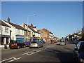
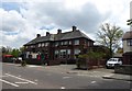
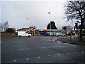
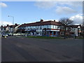
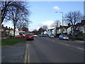
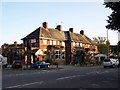
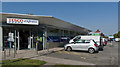
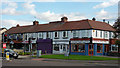
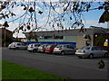
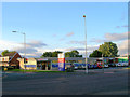
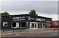
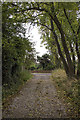
16 photos from this area
Area Information
Key information about the CH46 6HL including its size, population, and administrative classification.
- Area Type
- Postcode
- Area Size
- 1.1 hectares
- Population
- 1526
- Population Density
- 4294 people/km²
House Prices in CH46 6HL
32
Properties
£142,359
Average Sold Price
£41,000
Lowest Price
£237,000
Highest Price
Showing 32 properties
| Address | Type | Beds | Baths | Last Sale Price | Last Sale Date | |
|---|---|---|---|---|---|---|
| 29 Millhouse Lane, Moreton, CH46 6HL | Detached | 3 | 1 | £237,000 | Mar 2025 | |
| 17 Millhouse Lane, Moreton, CH46 6HL | house | - | - | £200,000 | Mar 2024 | |
| 39 Millhouse Lane, Moreton, CH46 6HL | house | - | - | £152,000 | Jul 2023 | |
| 1 Millhouse Lane, Moreton, CH46 6HL | Detached | 3 | 1 | £191,000 | Apr 2023 | |
| 47 Millhouse Lane, Moreton, CH46 6HL | house | - | - | £200,000 | May 2022 | |
| 63 Millhouse Lane, Moreton, CH46 6HL | Semi-detached | 3 | 1 | £185,000 | Mar 2021 | |
| 43 Millhouse Lane, Moreton, CH46 6HL | house | - | - | £160,000 | Dec 2020 | |
| 61 Millhouse Lane, Moreton, CH46 6HL | house | - | - | £185,000 | Aug 2020 | |
| 23 Millhouse Lane, Moreton, CH46 6HL | house | 3 | - | £156,000 | Apr 2016 | |
| 37 Millhouse Lane, Moreton, CH46 6HL | house | - | - | £144,000 | Jun 2015 |
Page 1 of 4
Energy Efficiency in CH46 6HL
Amenities
Schools
| Rank | School | Type | Entry gender | Ages |
|---|
Explore more schools in this area
Go to Schools tabDemographics
Household Size
Two person
most common
Accommodation Type
Houses
most common
Tenure
85
majority
Ethnic Group
White
most common
Religion
N/A
most common
Household Composition
N/A
most common
Age
47
median
Adults (30-64 years)
most common
Household Deprivation
N/A
with no deprivation
NS-SEC
30
in Lower managerial occupations
Explore more demographic insights in this area
Go to Demographics tabPlanning
Planning Constraints
- Flood RiskPremium
- Ramsar Wetland SitesPremium
- Area of Outstanding Natural BeautyPremium
- Protected Nature ReservePremium
- Protected WoodlandPremium