Area Overview for CH46 6BZ
Photos of CH46 6BZ
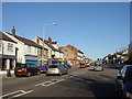
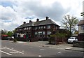
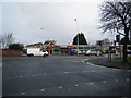
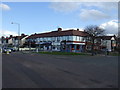
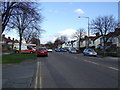
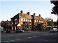

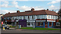
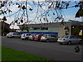
16 photos from this area
Area Information
Key information about the CH46 6BZ including its size, population, and administrative classification.
- Area Type
- Postcode
- Area Size
- 5265 m²
- Population
- 1472
- Population Density
- 5024 people/km²
House Prices in CH46 6BZ
13
Properties
£157,970
Average Sold Price
£41,000
Lowest Price
£235,000
Highest Price
Showing 13 properties
| Address | Type | Beds | Baths | Last Sale Price | Last Sale Date | |
|---|---|---|---|---|---|---|
| 20 Joan Avenue, Moreton, CH46 6BZ | Bungalow | 3 | 2 | £235,000 | Jan 2025 | |
| 28 Joan Avenue, Moreton, CH46 6BZ | Semi-detached | 3 | 1 | £218,400 | Jun 2023 | |
| 26 Joan Avenue, Moreton, CH46 6BZ | house | - | - | £226,000 | Sep 2021 | |
| 18 Joan Avenue, Moreton, CH46 6BZ | house | - | - | £155,000 | Aug 2020 | |
| 16 Joan Avenue, Moreton, CH46 6BZ | house | - | - | £148,000 | Sep 2015 | |
| 22 Joan Avenue, Moreton, CH46 6BZ | Semi-detached | 3 | - | £147,800 | Oct 2014 | |
| 30A Joan Avenue, Moreton, CH46 6BZ | Bungalow | 3 | - | £140,000 | Jun 2006 | |
| 14 Joan Avenue, Moreton, CH46 6BZ | house | - | - | £143,500 | Oct 2004 | |
| 32 Joan Avenue, Moreton, CH46 6BZ | Detached | - | - | £125,000 | Mar 2004 | |
| 12 Joan Avenue, Moreton, CH46 6BZ | Semi-detached | 3 | 1 | £41,000 | Feb 1999 |
Page 1 of 2
Energy Efficiency in CH46 6BZ
Amenities
Schools
| Rank | School | Type | Entry gender | Ages |
|---|
Explore more schools in this area
Go to Schools tabDemographics
Household Size
Two person
most common
Accommodation Type
Houses
most common
Tenure
79
majority
Ethnic Group
White
most common
Religion
N/A
most common
Household Composition
N/A
most common
Age
47
median
Adults (30-64 years)
most common
Household Deprivation
N/A
with no deprivation
NS-SEC
27
in Lower managerial occupations
Explore more demographic insights in this area
Go to Demographics tabPlanning
Planning Constraints
- Flood RiskPremium
- Ramsar Wetland SitesPremium
- Area of Outstanding Natural BeautyPremium
- Protected Nature ReservePremium
- Protected WoodlandPremium