Area Overview for CH46 6BN
Photos of CH46 6BN
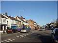
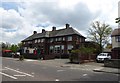
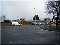
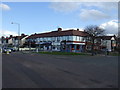
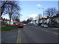
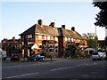
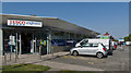
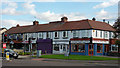
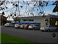
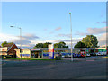
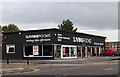
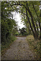
16 photos from this area
Area Information
Key information about the CH46 6BN including its size, population, and administrative classification.
- Area Type
- Postcode
- Area Size
- 8670 m²
- Population
- 1472
- Population Density
- 169785 people/km²
House Prices in CH46 6BN
33
Properties
£122,965
Average Sold Price
£44,000
Lowest Price
£190,000
Highest Price
Showing 33 properties
| Address | Type | Beds | Baths | Last Sale Price | Last Sale Date | |
|---|---|---|---|---|---|---|
| 1 Kestrel Road, Moreton, CH46 6BN | house | - | - | £190,000 | Dec 2024 | |
| 47 Kestrel Road, Moreton, CH46 6BN | house | - | - | £180,000 | Sep 2022 | |
| 3 Kestrel Road, Moreton, CH46 6BN | Terraced | 3 | 2 | £188,700 | Jul 2022 | |
| 51 Kestrel Road, Moreton, CH46 6BN | house | - | - | £120,000 | Oct 2020 | |
| 53 Kestrel Road, Moreton, CH46 6BN | house | - | - | £158,000 | Aug 2018 | |
| 27 Kestrel Road, Moreton, CH46 6BN | Semi-detached | 3 | - | £124,950 | Dec 2013 | |
| 11 Kestrel Road, Moreton, CH46 6BN | house | 3 | 1 | £98,000 | May 2010 | |
| 23 Kestrel Road, Moreton, CH46 6BN | house | - | - | £76,000 | Apr 2003 | |
| 29 Kestrel Road, Moreton, CH46 6BN | house | - | - | £50,000 | Dec 2002 | |
| 33 Kestrel Road, Moreton, CH46 6BN | house | - | - | £44,000 | Mar 1999 |
Page 1 of 4
Energy Efficiency in CH46 6BN
Amenities
Schools
| Rank | School | Type | Entry gender | Ages |
|---|
Explore more schools in this area
Go to Schools tabDemographics
Household Size
Two person
most common
Accommodation Type
Houses
most common
Tenure
79
majority
Ethnic Group
White
most common
Religion
N/A
most common
Household Composition
N/A
most common
Age
47
median
Adults (30-64 years)
most common
Household Deprivation
N/A
with no deprivation
NS-SEC
27
in Lower managerial occupations
Explore more demographic insights in this area
Go to Demographics tabPlanning
Planning Constraints
- Flood RiskPremium
- Ramsar Wetland SitesPremium
- Area of Outstanding Natural BeautyPremium
- Protected Nature ReservePremium
- Protected WoodlandPremium