Area Overview for CH45 3JS
Photos of CH45 3JS

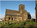
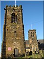
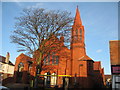
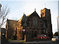
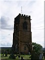

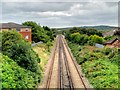
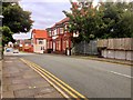
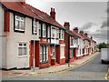
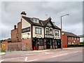
44 photos from this area
Area Information
Key information about the CH45 3JS including its size, population, and administrative classification.
- Area Type
- Postcode
- Area Size
- 8275 m²
- Population
- 1410
- Population Density
- 1530 people/km²
House Prices in CH45 3JS
21
Properties
£154,042
Average Sold Price
£60,000
Lowest Price
£375,000
Highest Price
Showing 21 properties
| Address | Type | Beds | Baths | Last Sale Price | Last Sale Date | |
|---|---|---|---|---|---|---|
| 21 Gloucester Road, Wallasey Village, CH45 3JS | house | - | - | £269,048 | Sep 2021 | |
| 41 Gloucester Road, Wallasey Village, CH45 3JS | Semi-detached | 3 | 2 | £242,500 | Oct 2020 | |
| 1 Gloucester Road, Wallasey Village, CH45 3JS | Detached | 5 | 3 | £375,000 | May 2019 | |
| 33 Gloucester Road, Wallasey Village, CH45 3JS | house | - | - | £176,500 | Mar 2011 | |
| 5 Gloucester Road, Wallasey Village, CH45 3JS | house | - | - | £145,000 | May 2009 | |
| 19 Gloucester Road, Wallasey Village, CH45 3JS | Detached | - | - | £227,000 | Jun 2006 | |
| 7 Gloucester Road, Wallasey Village, CH45 3JS | Detached | - | - | £125,000 | Feb 2000 | |
| 17 Gloucester Road, Wallasey Village, CH45 3JS | Semi-detached | - | - | £77,000 | Aug 1999 | |
| 27 Gloucester Road, Wallasey Village, CH45 3JS | Semi-detached | - | - | £86,000 | Jun 1999 | |
| 15 Gloucester Road, Wallasey Village, CH45 3JS | Semi-detached | - | - | £86,500 | Jun 1999 |
Page 1 of 3
Energy Efficiency in CH45 3JS
Amenities
Schools
| Rank | School | Type | Entry gender | Ages |
|---|
Explore more schools in this area
Go to Schools tabDemographics
Household Size
One person
most common
Accommodation Type
Houses
most common
Tenure
80
majority
Ethnic Group
White
most common
Religion
N/A
most common
Household Composition
N/A
most common
Age
47
median
Adults (30-64 years)
most common
Household Deprivation
N/A
with no deprivation
NS-SEC
40
in Lower managerial occupations
Explore more demographic insights in this area
Go to Demographics tabPlanning
Planning Constraints
- Flood RiskPremium
- Ramsar Wetland SitesPremium
- Area of Outstanding Natural BeautyPremium
- Protected Nature ReservePremium
- Protected WoodlandPremium