Area Overview for CH45 2LR
Photos of CH45 2LR

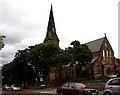
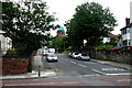
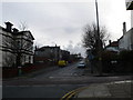
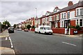
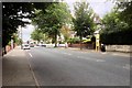
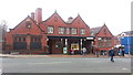
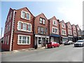
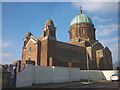
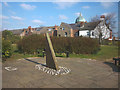
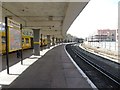
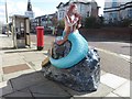
88 photos from this area
Area Information
Key information about the CH45 2LR including its size, population, and administrative classification.
- Area Type
- Postcode
- Area Size
- 4403 m²
- Population
- 1551
- Population Density
- 7983 people/km²
House Prices in CH45 2LR
24
Properties
£144,139
Average Sold Price
£36,000
Lowest Price
£250,000
Highest Price
Showing 24 properties
| Address | Type | Beds | Baths | Last Sale Price | Last Sale Date | |
|---|---|---|---|---|---|---|
| 33 Egerton Street, New Brighton, CH45 2LR | Terraced | 3 | 1 | £190,000 | Jun 2025 | |
| 39 Egerton Street, New Brighton, CH45 2LR | Terraced | 3 | 1 | £220,000 | Dec 2024 | |
| 35 Egerton Street, New Brighton, CH45 2LR | Terraced | 3 | 1 | £220,000 | Jul 2024 | |
| 61 Egerton Street, New Brighton, CH45 2LR | Terraced | 3 | 1 | £198,000 | Oct 2023 | |
| 45 Egerton Street, New Brighton, CH45 2LR | house | - | - | £180,000 | Jan 2022 | |
| 31 Egerton Street, New Brighton, CH45 2LR | house | 5 | 1 | £250,000 | May 2021 | |
| 43 Egerton Street, New Brighton, CH45 2LR | Terraced | 3 | 1 | £120,000 | Oct 2018 | |
| 37 Egerton Street, New Brighton, CH45 2LR | house | - | - | £125,000 | Mar 2017 | |
| 51 Egerton Street, New Brighton, CH45 2LR | Terraced | 3 | - | £112,500 | Jul 2015 | |
| 49 Egerton Street, New Brighton, CH45 2LR | Terraced | 3 | - | £113,000 | May 2015 |
Page 1 of 3
Energy Efficiency in CH45 2LR
Amenities
Schools
| Rank | School | Type | Entry gender | Ages |
|---|
Explore more schools in this area
Go to Schools tabDemographics
Household Size
One person
most common
Accommodation Type
Flats
most common
Tenure
37
majority
Ethnic Group
White
most common
Religion
N/A
most common
Household Composition
N/A
most common
Age
47
median
Adults (30-64 years)
most common
Household Deprivation
N/A
with no deprivation
NS-SEC
26
in Lower managerial occupations
Explore more demographic insights in this area
Go to Demographics tabPlanning
Planning Constraints
- Flood RiskPremium
- Ramsar Wetland SitesPremium
- Area of Outstanding Natural BeautyPremium
- Protected Nature ReservePremium
- Protected WoodlandPremium