Area Overview for CH43 9TE
Photos of CH43 9TE
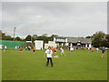
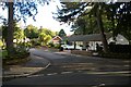
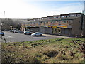
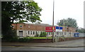
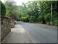
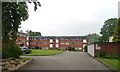
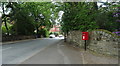
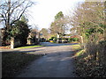
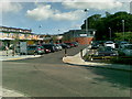
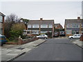
14 photos from this area
Area Information
Key information about the CH43 9TE including its size, population, and administrative classification.
- Area Type
- Postcode
- Area Size
- 6225 m²
- Population
- Not available
- Population Density
- Not available
House Prices in CH43 9TE
6
Properties
£444,583
Average Sold Price
£290,000
Lowest Price
£547,500
Highest Price
Showing 6 properties
| Address | Type | Beds | Baths | Last Sale Price | Last Sale Date | |
|---|---|---|---|---|---|---|
| 5 The Uplands, Noctorum, CH43 9TE | house | 5 | 3 | £545,000 | Jan 2025 | |
| 3 The Uplands, Noctorum, CH43 9TE | Detached | 5 | - | £547,500 | Oct 2020 | |
| 4 The Uplands, Noctorum, CH43 9TE | house | - | - | £495,000 | Mar 2016 | |
| Beech House, 1 The Uplands, Noctorum, CH43 9TE | Detached | - | - | £425,000 | Jun 2014 | |
| 2 The Uplands, Noctorum, CH43 9TE | Detached | 5 | - | £365,000 | Oct 2003 | |
| 6 The Uplands, Noctorum, CH43 9TE | Detached | - | - | £290,000 | Aug 2002 |
Energy Efficiency in CH43 9TE
Amenities
Schools
| Rank | School | Type | Entry gender | Ages |
|---|
Explore more schools in this area
Go to Schools tabDemographics
Household Size
Family (3-5 people)
most common
Accommodation Type
Houses
most common
Tenure
80
majority
Ethnic Group
White
most common
Religion
N/A
most common
Household Composition
N/A
most common
Age
47
median
Adults (30-64 years)
most common
Household Deprivation
N/A
with no deprivation
NS-SEC
35
in Lower managerial occupations
Explore more demographic insights in this area
Go to Demographics tabPlanning
Planning Constraints
- Flood RiskPremium
- Ramsar Wetland SitesPremium
- Area of Outstanding Natural BeautyPremium
- Protected Nature ReservePremium
- Protected WoodlandPremium