Area Overview for CH43 6UY
Photos of CH43 6UY
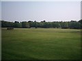
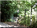
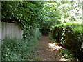

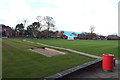
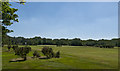
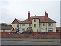
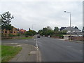
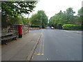
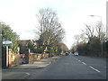
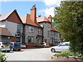
35 photos from this area
Area Information
Key information about the CH43 6UY including its size, population, and administrative classification.
- Area Type
- Postcode
- Area Size
- 9622 m²
- Population
- 1609
- Population Density
- 4195 people/km²
House Prices in CH43 6UY
23
Properties
£183,693
Average Sold Price
£59,950
Lowest Price
£290,000
Highest Price
Showing 23 properties
| Address | Type | Beds | Baths | Last Sale Price | Last Sale Date | |
|---|---|---|---|---|---|---|
| 11 Howbeck Drive, Oxton, CH43 6UY | house | 4 | 2 | £290,000 | May 2024 | |
| 6 Howbeck Drive, Oxton, CH43 6UY | house | - | - | £290,000 | Jul 2022 | |
| 25 Howbeck Drive, Oxton, CH43 6UY | house | - | - | £225,000 | Sep 2021 | |
| 5 Howbeck Drive, Oxton, CH43 6UY | Terraced | 3 | 1 | £238,000 | Oct 2019 | |
| 19 Howbeck Drive, Oxton, CH43 6UY | house | - | - | £230,000 | Dec 2017 | |
| 8 Howbeck Drive, Oxton, CH43 6UY | Semi-detached | 4 | - | £280,000 | Apr 2016 | |
| 29 Howbeck Drive, Oxton, CH43 6UY | Terraced | 3 | 1 | £187,950 | Jan 2016 | |
| 1 Howbeck Drive, Oxton, CH43 6UY | Semi-detached | 3 | 1 | £190,000 | Feb 2015 | |
| 23 Howbeck Drive, Oxton, CH43 6UY | house | - | - | £172,500 | Oct 2014 | |
| 2 Howbeck Drive, Oxton, CH43 6UY | Semi-detached | 5 | 3 | £235,000 | Oct 2013 |
Page 1 of 3
Energy Efficiency in CH43 6UY
Amenities
Schools
| Rank | School | Type | Entry gender | Ages |
|---|
Explore more schools in this area
Go to Schools tabDemographics
Household Size
One person
most common
Accommodation Type
Houses
most common
Tenure
58
majority
Ethnic Group
White
most common
Religion
N/A
most common
Household Composition
N/A
most common
Age
47
median
Adults (30-64 years)
most common
Household Deprivation
N/A
with no deprivation
NS-SEC
38
in Lower managerial occupations
Explore more demographic insights in this area
Go to Demographics tabPlanning
Planning Constraints
- Flood RiskPremium
- Ramsar Wetland SitesPremium
- Area of Outstanding Natural BeautyPremium
- Protected Nature ReservePremium
- Protected WoodlandPremium