Area Overview for CH43 6UQ
Photos of CH43 6UQ
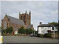

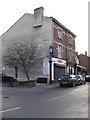
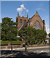
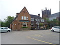
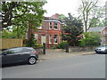
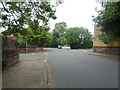
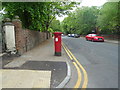
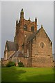
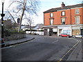
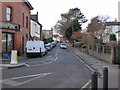
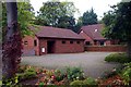
26 photos from this area
Area Information
Key information about the CH43 6UQ including its size, population, and administrative classification.
- Area Type
- Postcode
- Area Size
- 2634 m²
- Population
- 1666
- Population Density
- 632428 people/km²
House Prices in CH43 6UQ
12
Properties
£100,425
Average Sold Price
£47,950
Lowest Price
£137,500
Highest Price
Showing 12 properties
| Address | Type | Beds | Baths | Last Sale Price | Last Sale Date | |
|---|---|---|---|---|---|---|
| 74, Talbot Court, Village Road, Oxton, CH43 6UQ | Flat | 2 | 1 | £135,000 | Mar 2022 | |
| 77, Talbot Court, Village Road, Oxton, CH43 6UQ | Flat | - | - | £112,000 | Jan 2016 | |
| 80, Talbot Court, Village Road, Oxton, CH43 6UQ | Flat | - | - | £119,950 | Aug 2015 | |
| 73, Talbot Court, Village Road, Oxton, CH43 6UQ | Flat | 2 | 1 | £84,000 | Apr 2012 | |
| 78, Talbot Court, Village Road, Oxton, CH43 6UQ | Flat | - | - | £85,000 | May 2011 | |
| 75, Talbot Court, Village Road, Oxton, CH43 6UQ | Flat | - | - | £82,000 | Mar 2011 | |
| 72, Talbot Court, Village Road, Oxton, CH43 6UQ | Flat | - | - | £137,500 | Jul 2005 | |
| 79, Talbot Court, Village Road, Oxton, CH43 6UQ | Flat | - | - | £47,950 | Jun 1999 | |
| 71, Talbot Court, Village Road, Oxton, CH43 6UQ | Flat | 2 | - | - | - | |
| 82, Talbot Court, Village Road, Oxton, CH43 6UQ | Flat | - | - | - | - |
Page 1 of 2
Energy Efficiency in CH43 6UQ
Amenities
Schools
| Rank | School | Type | Entry gender | Ages |
|---|
Explore more schools in this area
Go to Schools tabDemographics
Household Size
One person
most common
Accommodation Type
Houses
most common
Tenure
74
majority
Ethnic Group
White
most common
Religion
N/A
most common
Household Composition
N/A
most common
Age
47
median
Adults (30-64 years)
most common
Household Deprivation
N/A
with no deprivation
NS-SEC
49
in Lower managerial occupations
Explore more demographic insights in this area
Go to Demographics tabPlanning
Planning Constraints
- Flood RiskPremium
- Ramsar Wetland SitesPremium
- Area of Outstanding Natural BeautyPremium
- Protected Nature ReservePremium
- Protected WoodlandPremium