Area Overview for CH43 5TY
Photos of CH43 5TY
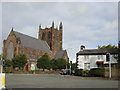

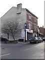
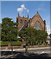
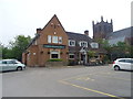
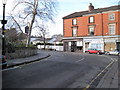
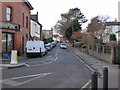
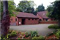
26 photos from this area
Area Information
Key information about the CH43 5TY including its size, population, and administrative classification.
- Area Type
- Postcode
- Area Size
- 9189 m²
- Population
- 1666
- Population Density
- 3535 people/km²
House Prices in CH43 5TY
24
Properties
£225,968
Average Sold Price
£33,500
Lowest Price
£395,000
Highest Price
Showing 24 properties
| Address | Type | Beds | Baths | Last Sale Price | Last Sale Date | |
|---|---|---|---|---|---|---|
| 12 Ingestre Road, Oxton, CH43 5TY | house | 3 | 2 | £395,000 | Aug 2024 | |
| 4A Ingestre Road, Oxton, CH43 5TY | house | - | - | £283,000 | Mar 2021 | |
| Beech Hayes, 10 Ingestre Road, Oxton, CH43 5TY | Detached | 4 | 2 | £305,000 | Aug 2017 | |
| 6 Ingestre Road, Oxton, CH43 5TY | house | - | - | £380,000 | Oct 2016 | |
| 14 Ingestre Road, Oxton, CH43 5TY | house | - | - | £264,950 | Dec 2015 | |
| 2A Ingestre Road, Oxton, CH43 5TY | house | - | - | £205,000 | Sep 2012 | |
| 16 Ingestre Road, Oxton, CH43 5TY | Detached | - | - | £224,950 | May 2008 | |
| 18 Ingestre Road, Oxton, CH43 5TY | Semi-detached | - | - | £176,000 | Jun 2002 | |
| Duncraggan, 24 Ingestre Road, Oxton, CH43 5TY | Detached | 4 | 2 | £113,250 | Nov 1999 | |
| 22 Ingestre Road, Oxton, CH43 5TY | house | - | - | £33,500 | Dec 1995 |
Page 1 of 3
Energy Efficiency in CH43 5TY
Amenities
Schools
| Rank | School | Type | Entry gender | Ages |
|---|
Explore more schools in this area
Go to Schools tabDemographics
Household Size
One person
most common
Accommodation Type
Houses
most common
Tenure
74
majority
Ethnic Group
White
most common
Religion
N/A
most common
Household Composition
N/A
most common
Age
47
median
Adults (30-64 years)
most common
Household Deprivation
N/A
with no deprivation
NS-SEC
49
in Lower managerial occupations
Explore more demographic insights in this area
Go to Demographics tabPlanning
Planning Constraints
- Flood RiskPremium
- Ramsar Wetland SitesPremium
- Area of Outstanding Natural BeautyPremium
- Protected Nature ReservePremium
- Protected WoodlandPremium