Area Overview for CH43 5RS
Photos of CH43 5RS
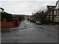
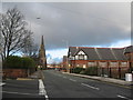
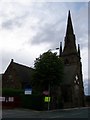
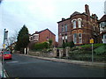
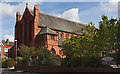
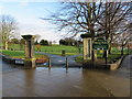
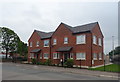
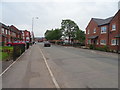
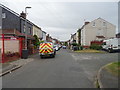
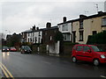
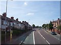
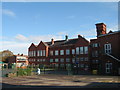
28 photos from this area
Area Information
Key information about the CH43 5RS including its size, population, and administrative classification.
- Area Type
- Postcode
- Area Size
- 2803 m²
- Population
- 2153
- Population Density
- 11483 people/km²
House Prices in CH43 5RS
14
Properties
£145,666
Average Sold Price
£57,000
Lowest Price
£180,000
Highest Price
Showing 14 properties
| Address | Type | Beds | Baths | Last Sale Price | Last Sale Date | |
|---|---|---|---|---|---|---|
| 39 Bennetts Hill, Oxton, CH43 5RS | Detached | 3 | 1 | £152,250 | Aug 2021 | |
| 27 Bennetts Hill, Oxton, CH43 5RS | Terraced | 3 | 1 | £147,250 | May 2021 | |
| 24 Bennetts Hill, Oxton, CH43 5RS | Semi-detached | 4 | 1 | £180,000 | Dec 2020 | |
| 33 Bennetts Hill, Oxton, CH43 5RS | Terraced | 3 | 1 | £175,000 | Apr 2020 | |
| 37 Bennetts Hill, Oxton, CH43 5RS | house | - | - | £167,500 | Apr 2019 | |
| 39A Bennetts Hill, Oxton, CH43 5RS | Detached | 3 | 1 | £149,995 | Nov 2017 | |
| 31 Bennetts Hill, Oxton, CH43 5RS | house | - | - | £142,000 | Aug 2013 | |
| 26 Bennetts Hill, Oxton, CH43 5RS | house | - | - | £140,000 | Jul 2007 | |
| 22A Bennetts Hill, Oxton, CH43 5RS | Terraced | - | - | £57,000 | Mar 2000 | |
| 29 Bennetts Hill, Oxton, CH43 5RS | Terraced | 3 | - | - | - |
Page 1 of 2
Energy Efficiency in CH43 5RS
Amenities
Schools
| Rank | School | Type | Entry gender | Ages |
|---|
Explore more schools in this area
Go to Schools tabDemographics
Household Size
One person
most common
Accommodation Type
Houses
most common
Tenure
51
majority
Ethnic Group
White
most common
Religion
N/A
most common
Household Composition
N/A
most common
Age
47
median
Adults (30-64 years)
most common
Household Deprivation
N/A
with no deprivation
NS-SEC
24
in Lower managerial occupations
Explore more demographic insights in this area
Go to Demographics tabPlanning
Planning Constraints
- Flood RiskPremium
- Ramsar Wetland SitesPremium
- Area of Outstanding Natural BeautyPremium
- Protected Nature ReservePremium
- Protected WoodlandPremium