Area Overview for CH42 6QE
Photos of CH42 6QE
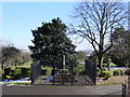
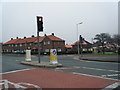
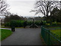
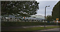
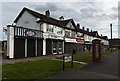
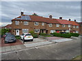
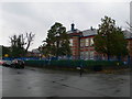
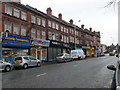
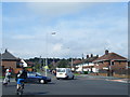
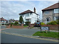
21 photos from this area
Area Information
Key information about the CH42 6QE including its size, population, and administrative classification.
- Area Type
- Postcode
- Area Size
- 4177 m²
- Population
- 1525
- Population Density
- 5535 people/km²
House Prices in CH42 6QE
25
Properties
£119,718
Average Sold Price
£38,000
Lowest Price
£200,000
Highest Price
Showing 25 properties
| Address | Type | Beds | Baths | Last Sale Price | Last Sale Date | |
|---|---|---|---|---|---|---|
| 9 Kirkland Avenue, Tranmere, CH42 6QE | house | - | - | £200,000 | Jul 2025 | |
| 35 Kirkland Avenue, Tranmere, CH42 6QE | Terraced | 4 | 1 | £170,000 | Mar 2025 | |
| 31 Kirkland Avenue, Tranmere, CH42 6QE | Terraced | 4 | 1 | £155,000 | Feb 2025 | |
| 29 Kirkland Avenue, Tranmere, CH42 6QE | house | - | - | £185,000 | Mar 2023 | |
| 33 Kirkland Avenue, Tranmere, CH42 6QE | Terraced | 4 | - | £128,000 | May 2021 | |
| 17 Kirkland Avenue, Tranmere, CH42 6QE | Terraced | 4 | - | £151,000 | Apr 2019 | |
| 11 Kirkland Avenue, Tranmere, CH42 6QE | Terraced | 4 | 2 | £117,000 | Sep 2018 | |
| 23 Kirkland Avenue, Tranmere, CH42 6QE | Terraced | - | - | £88,951 | Nov 2017 | |
| 7 Kirkland Avenue, Tranmere, CH42 6QE | house | - | - | £124,000 | Feb 2017 | |
| 1 Kirkland Avenue, Tranmere, CH42 6QE | Terraced | 6 | 2 | £124,700 | Feb 2016 |
Page 1 of 3
Energy Efficiency in CH42 6QE
Amenities
Schools
| Rank | School | Type | Entry gender | Ages |
|---|
Explore more schools in this area
Go to Schools tabDemographics
Household Size
Family (3-5 people)
most common
Accommodation Type
Houses
most common
Tenure
83
majority
Ethnic Group
White
most common
Religion
N/A
most common
Household Composition
N/A
most common
Age
47
median
Adults (30-64 years)
most common
Household Deprivation
N/A
with no deprivation
NS-SEC
32
in Lower managerial occupations
Explore more demographic insights in this area
Go to Demographics tabPlanning
Planning Constraints
- Flood RiskPremium
- Ramsar Wetland SitesPremium
- Area of Outstanding Natural BeautyPremium
- Protected Nature ReservePremium
- Protected WoodlandPremium