Area Overview for CH42 5QB
Photos of CH42 5QB
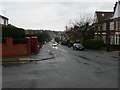
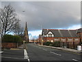
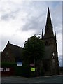
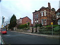
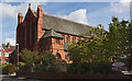
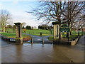
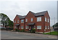
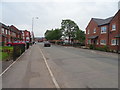
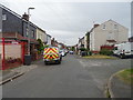
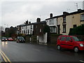
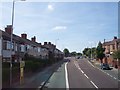
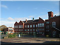
28 photos from this area
Area Information
Key information about the CH42 5QB including its size, population, and administrative classification.
- Area Type
- Postcode
- Area Size
- 5511 m²
- Population
- 1683
- Population Density
- 9252 people/km²
House Prices in CH42 5QB
17
Properties
£179,614
Average Sold Price
£111,500
Lowest Price
£619,626
Highest Price
Showing 17 properties
| Address | Type | Beds | Baths | Last Sale Price | Last Sale Date | |
|---|---|---|---|---|---|---|
| 36 Church Road, Tranmere, CH42 5QB | Semi-detached | 2 | 1 | £180,000 | Aug 2022 | |
| 56 Church Road, Tranmere, CH42 5QB | house | - | - | £130,000 | Dec 2021 | |
| 16 Church Road, Tranmere, CH42 5QB | house | - | - | £177,036 | Jul 2020 | |
| 20 Church Road, Tranmere, CH42 5QB | house | - | - | £619,626 | Mar 2020 | |
| 54 Church Road, Tranmere, CH42 5QB | house | - | - | £111,500 | Aug 2018 | |
| 46 Church Road, Tranmere, CH42 5QB | Detached | 2 | 1 | £111,995 | Feb 2018 | |
| 52 Church Road, Tranmere, CH42 5QB | house | - | - | £111,995 | Dec 2017 | |
| 50 Church Road, Tranmere, CH42 5QB | house | - | - | £111,995 | Dec 2017 | |
| 48 Church Road, Tranmere, CH42 5QB | house | - | - | £111,995 | Dec 2017 | |
| 34 Church Road, Tranmere, CH42 5QB | Semi-detached | 3 | 2 | £129,995 | Sep 2017 |
Page 1 of 2
Energy Efficiency in CH42 5QB
Amenities
Schools
| Rank | School | Type | Entry gender | Ages |
|---|
Explore more schools in this area
Go to Schools tabDemographics
Household Size
One person
most common
Accommodation Type
Houses
most common
Tenure
41
majority
Ethnic Group
White
most common
Religion
N/A
most common
Household Composition
N/A
most common
Age
47
median
Adults (30-64 years)
most common
Household Deprivation
N/A
with no deprivation
NS-SEC
16
in Lower managerial occupations
Explore more demographic insights in this area
Go to Demographics tabPlanning
Planning Constraints
- Flood RiskPremium
- Ramsar Wetland SitesPremium
- Area of Outstanding Natural BeautyPremium
- Protected Nature ReservePremium
- Protected WoodlandPremium