Area Overview for CH42 4QL
Photos of CH42 4QL
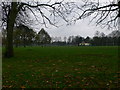
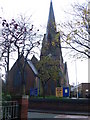
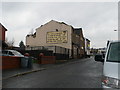
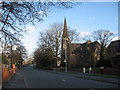

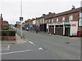
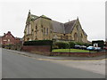
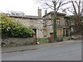
63 photos from this area
Area Information
Key information about the CH42 4QL including its size, population, and administrative classification.
- Area Type
- Postcode
- Area Size
- 5136 m²
- Population
- 1701
- Population Density
- 6233 people/km²
House Prices in CH42 4QL
39
Properties
£68,980
Average Sold Price
£19,950
Lowest Price
£139,995
Highest Price
Showing 39 properties
| Address | Type | Beds | Baths | Last Sale Price | Last Sale Date | |
|---|---|---|---|---|---|---|
| 67 Inglemere Road, Rock Ferry, CH42 4QL | Terraced | 3 | 1 | £139,995 | Aug 2023 | |
| 35 Inglemere Road, Rock Ferry, CH42 4QL | Terraced | 3 | 1 | £137,000 | Jan 2023 | |
| 47 Inglemere Road, Rock Ferry, CH42 4QL | Terraced | 3 | 1 | £83,500 | Nov 2021 | |
| 3 Inglemere Road, Rock Ferry, CH42 4QL | Flat | - | - | £60,000 | Sep 2020 | |
| 37 Inglemere Road, Rock Ferry, CH42 4QL | Terraced | 3 | 1 | £77,000 | Nov 2018 | |
| 15 Inglemere Road, Rock Ferry, CH42 4QL | Terraced | 3 | 1 | £95,000 | May 2017 | |
| 33 Inglemere Road, Rock Ferry, CH42 4QL | house | - | - | £90,000 | Dec 2016 | |
| 41 Inglemere Road, Rock Ferry, CH42 4QL | Terraced | 3 | 1 | £63,000 | Sep 2016 | |
| 83 Inglemere Road, Rock Ferry, CH42 4QL | Terraced | 3 | 1 | £90,000 | Mar 2016 | |
| 27 Inglemere Road, Rock Ferry, CH42 4QL | Terraced | 3 | - | £79,000 | Oct 2015 |
Page 1 of 4
Energy Efficiency in CH42 4QL
Amenities
Schools
| Rank | School | Type | Entry gender | Ages |
|---|
Explore more schools in this area
Go to Schools tabDemographics
Household Size
Family (3-5 people)
most common
Accommodation Type
Houses
most common
Tenure
76
majority
Ethnic Group
White
most common
Religion
N/A
most common
Household Composition
N/A
most common
Age
47
median
Adults (30-64 years)
most common
Household Deprivation
N/A
with no deprivation
NS-SEC
28
in Lower managerial occupations
Explore more demographic insights in this area
Go to Demographics tabPlanning
Planning Constraints
- Flood RiskPremium
- Ramsar Wetland SitesPremium
- Area of Outstanding Natural BeautyPremium
- Protected Nature ReservePremium
- Protected WoodlandPremium