Area Overview for CH42 4QG
Photos of CH42 4QG
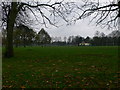
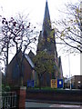
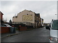
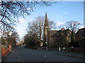
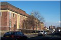

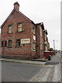
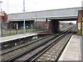
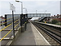
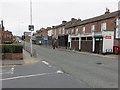
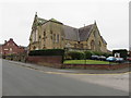
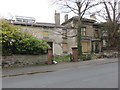
63 photos from this area
Area Information
Key information about the CH42 4QG including its size, population, and administrative classification.
- Area Type
- Postcode
- Area Size
- 4609 m²
- Population
- 1702
- Population Density
- 369306 people/km²
House Prices in CH42 4QG
24
Properties
£102,108
Average Sold Price
£12,500
Lowest Price
£229,000
Highest Price
Showing 24 properties
| Address | Type | Beds | Baths | Last Sale Price | Last Sale Date | |
|---|---|---|---|---|---|---|
| 2 Well Lane, Rock Ferry, CH42 4QG | Detached | 3 | 1 | £115,000 | Jun 2025 | |
| 18 Well Lane, Rock Ferry, CH42 4QG | Terraced | 3 | 1 | £100,000 | Jun 2025 | |
| 12 Well Lane, Rock Ferry, CH42 4QG | house | - | - | £128,819 | Jul 2023 | |
| 24 Well Lane, Rock Ferry, CH42 4QG | house | 3 | - | £132,675 | Dec 2022 | |
| 48 Well Lane, Rock Ferry, CH42 4QG | house | - | - | £229,000 | Jan 2022 | |
| 22 Well Lane, Rock Ferry, CH42 4QG | Terraced | 3 | 1 | £81,500 | Jan 2021 | |
| 4 Well Lane, Rock Ferry, CH42 4QG | Terraced | 4 | 1 | £95,000 | Jun 2019 | |
| 42 Well Lane, Rock Ferry, CH42 4QG | Terraced | 4 | 2 | £140,000 | Aug 2017 | |
| 6 Well Lane, Rock Ferry, CH42 4QG | house | - | - | £64,000 | Sep 2013 | |
| 20 Well Lane, Rock Ferry, CH42 4QG | Terraced | 3 | 1 | £68,000 | Jun 2011 |
Page 1 of 3
Energy Efficiency in CH42 4QG
Amenities
Schools
| Rank | School | Type | Entry gender | Ages |
|---|
Explore more schools in this area
Go to Schools tabDemographics
Household Size
One person
most common
Accommodation Type
Houses
most common
Tenure
38
majority
Ethnic Group
White
most common
Religion
N/A
most common
Household Composition
N/A
most common
Age
47
median
Adults (30-64 years)
most common
Household Deprivation
N/A
with no deprivation
NS-SEC
15
in Lower managerial occupations
Explore more demographic insights in this area
Go to Demographics tabPlanning
Planning Constraints
- Flood RiskPremium
- Ramsar Wetland SitesPremium
- Area of Outstanding Natural BeautyPremium
- Protected Nature ReservePremium
- Protected WoodlandPremium