Area Overview for CH42 3XW
Photos of CH42 3XW
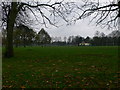
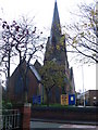
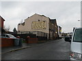
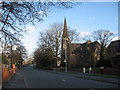
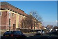

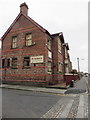
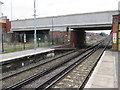
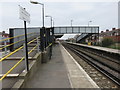
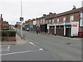
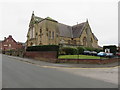
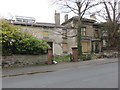
63 photos from this area
Area Information
Key information about the CH42 3XW including its size, population, and administrative classification.
- Area Type
- Postcode
- Area Size
- 4744 m²
- Population
- 1702
- Population Density
- 358759 people/km²
House Prices in CH42 3XW
38
Properties
£80,843
Average Sold Price
£18,950
Lowest Price
£135,000
Highest Price
Showing 38 properties
| Address | Type | Beds | Baths | Last Sale Price | Last Sale Date | |
|---|---|---|---|---|---|---|
| 8 Southdale Road, Rock Ferry, CH42 3XW | Terraced | 3 | - | £110,000 | Feb 2025 | |
| 34 Southdale Road, Rock Ferry, CH42 3XW | Terraced | 3 | 1 | £135,000 | Jan 2025 | |
| 46 Southdale Road, Rock Ferry, CH42 3XW | Terraced | 3 | 1 | £110,000 | Nov 2023 | |
| 44 Southdale Road, Rock Ferry, CH42 3XW | Terraced | 3 | - | £97,000 | Jun 2022 | |
| 50 Southdale Road, Rock Ferry, CH42 3XW | house | - | - | £120,000 | May 2022 | |
| 68 Southdale Road, Rock Ferry, CH42 3XW | Terraced | 3 | 1 | £129,995 | Mar 2022 | |
| 14 Southdale Road, Rock Ferry, CH42 3XW | Terraced | 3 | 1 | £95,000 | Jul 2019 | |
| 64 Southdale Road, Rock Ferry, CH42 3XW | house | 3 | 1 | £72,500 | Feb 2019 | |
| 16 Southdale Road, Rock Ferry, CH42 3XW | house | 3 | - | £87,500 | Sep 2018 | |
| 58 Southdale Road, Rock Ferry, CH42 3XW | Terraced | 3 | 1 | £97,000 | Jul 2018 |
Page 1 of 4
Energy Efficiency in CH42 3XW
Amenities
Schools
| Rank | School | Type | Entry gender | Ages |
|---|
Explore more schools in this area
Go to Schools tabDemographics
Household Size
One person
most common
Accommodation Type
Houses
most common
Tenure
38
majority
Ethnic Group
White
most common
Religion
N/A
most common
Household Composition
N/A
most common
Age
47
median
Adults (30-64 years)
most common
Household Deprivation
N/A
with no deprivation
NS-SEC
15
in Lower managerial occupations
Explore more demographic insights in this area
Go to Demographics tabPlanning
Planning Constraints
- Flood RiskPremium
- Ramsar Wetland SitesPremium
- Area of Outstanding Natural BeautyPremium
- Protected Nature ReservePremium
- Protected WoodlandPremium