Area Overview for CH42 2DJ
Photos of CH42 2DJ
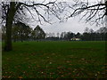
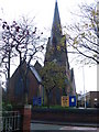
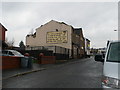
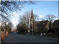

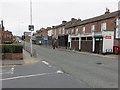
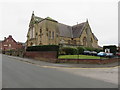
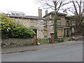
63 photos from this area
Area Information
Key information about the CH42 2DJ including its size, population, and administrative classification.
- Area Type
- Postcode
- Area Size
- 2973 m²
- Population
- Not available
- Population Density
- Not available
House Prices in CH42 2DJ
20
Properties
£77,230
Average Sold Price
£18,500
Lowest Price
£168,000
Highest Price
Showing 20 properties
| Address | Type | Beds | Baths | Last Sale Price | Last Sale Date | |
|---|---|---|---|---|---|---|
| 19 Tennyson Avenue, Rock Ferry, CH42 2DJ | Detached | 3 | 1 | £168,000 | Sep 2025 | |
| 14 Tennyson Avenue, Rock Ferry, CH42 2DJ | Terraced | 3 | 1 | £117,000 | Jun 2025 | |
| 18 Tennyson Avenue, Rock Ferry, CH42 2DJ | Terraced | 3 | 1 | £126,500 | Sep 2023 | |
| 11 Tennyson Avenue, Rock Ferry, CH42 2DJ | house | - | - | £157,000 | Mar 2023 | |
| 3 Tennyson Avenue, Rock Ferry, CH42 2DJ | Semi-detached | 3 | 1 | £118,000 | Jun 2021 | |
| 20 Tennyson Avenue, Rock Ferry, CH42 2DJ | Terraced | 3 | 1 | £64,000 | Nov 2016 | |
| 8 Tennyson Avenue, Rock Ferry, CH42 2DJ | Terraced | 3 | 1 | £79,000 | Mar 2015 | |
| 2 Tennyson Avenue, Rock Ferry, CH42 2DJ | Terraced | 3 | 1 | £58,000 | Dec 2010 | |
| 12 Tennyson Avenue, Rock Ferry, CH42 2DJ | Terraced | - | - | £38,500 | Oct 2004 | |
| 6 Tennyson Avenue, Rock Ferry, CH42 2DJ | Terraced | - | - | £18,500 | Jun 2004 |
Page 1 of 2
Energy Efficiency in CH42 2DJ
Amenities
Schools
| Rank | School | Type | Entry gender | Ages |
|---|
Explore more schools in this area
Go to Schools tabDemographics
Household Size
One person
most common
Accommodation Type
Houses
most common
Tenure
52
majority
Ethnic Group
White
most common
Religion
N/A
most common
Household Composition
N/A
most common
Age
47
median
Adults (30-64 years)
most common
Household Deprivation
N/A
with no deprivation
NS-SEC
19
in Lower managerial occupations
Explore more demographic insights in this area
Go to Demographics tabPlanning
Planning Constraints
- Flood RiskPremium
- Ramsar Wetland SitesPremium
- Area of Outstanding Natural BeautyPremium
- Protected Nature ReservePremium
- Protected WoodlandPremium