Area Overview for CH42 1PF
Photos of CH42 1PF
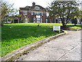
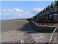
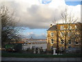
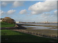
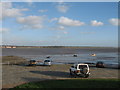
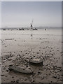
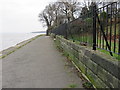
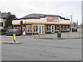
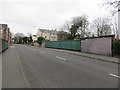
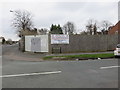
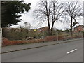
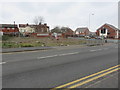
70 photos from this area
Area Information
Key information about the CH42 1PF including its size, population, and administrative classification.
- Area Type
- Postcode
- Area Size
- 4197 m²
- Population
- 1963
- Population Density
- 3542 people/km²
House Prices in CH42 1PF
15
Properties
£101,071
Average Sold Price
£28,000
Lowest Price
£170,000
Highest Price
Showing 15 properties
| Address | Type | Beds | Baths | Last Sale Price | Last Sale Date | |
|---|---|---|---|---|---|---|
| 91 Rock Lane East, Rock Ferry, CH42 1PF | house | 4 | 1 | £115,000 | Feb 2021 | |
| 79 Rock Lane East, Rock Ferry, CH42 1PF | Semi-detached | 6 | - | £170,000 | Mar 2016 | |
| 87 Rock Lane East, Rock Ferry, CH42 1PF | house | - | - | £118,500 | Aug 2011 | |
| 81 Rock Lane East, Rock Ferry, CH42 1PF | house | - | - | £143,000 | Oct 2010 | |
| 93 Rock Lane East, Rock Ferry, CH42 1PF | hotel | - | - | £90,000 | Mar 2006 | |
| 83 Rock Lane East, Rock Ferry, CH42 1PF | Semi-detached | - | - | £28,000 | Feb 1999 | |
| 77 Rock Lane East, Rock Ferry, CH42 1PF | Flat | 2 | 1 | £43,000 | Aug 1996 | |
| Flat 1, 95 Rock Lane East, Rock Ferry, CH42 1PF | Flat | 4 | - | - | - | |
| Flat B, 89 Rock Lane East, Rock Ferry, CH42 1PF | Flat | - | - | - | - | |
| Flat A, 89 Rock Lane East, Rock Ferry, CH42 1PF | Flat | - | - | - | - |
Page 1 of 2
Energy Efficiency in CH42 1PF
Amenities
Schools
| Rank | School | Type | Entry gender | Ages |
|---|
Explore more schools in this area
Go to Schools tabDemographics
Household Size
One person
most common
Accommodation Type
Houses
most common
Tenure
24
majority
Ethnic Group
White
most common
Religion
N/A
most common
Household Composition
N/A
most common
Age
47
median
Adults (30-64 years)
most common
Household Deprivation
N/A
with no deprivation
NS-SEC
18
in Lower managerial occupations
Explore more demographic insights in this area
Go to Demographics tabPlanning
Planning Constraints
- Flood RiskPremium
- Ramsar Wetland SitesPremium
- Area of Outstanding Natural BeautyPremium
- Protected Nature ReservePremium
- Protected WoodlandPremium