Area Overview for CH4 7DF
Photos of CH4 7DF
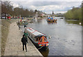
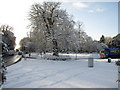
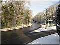
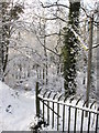
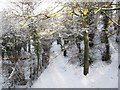
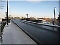
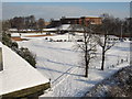
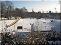
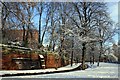
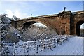
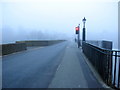
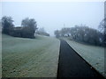
99 photos from this area
Area Information
Key information about the CH4 7DF including its size, population, and administrative classification.
- Area Type
- Postcode
- Area Size
- 4209 m²
- Population
- 1828
- Population Density
- 3642 people/km²
House Prices in CH4 7DF
31
Properties
£144,174
Average Sold Price
£35,000
Lowest Price
£425,500
Highest Price
Showing 31 properties
| Address | Type | Beds | Baths | Last Sale Price | Last Sale Date | |
|---|---|---|---|---|---|---|
| 48 Bradford Street, Chester, CH4 7DF | Terraced | 2 | 1 | £188,400 | May 2025 | |
| 2 Bradford Street, Chester, CH4 7DF | Terraced | 2 | 1 | £425,500 | Feb 2023 | |
| 4A Bradford Street, Chester, CH4 7DF | Flat | - | - | £125,000 | Feb 2021 | |
| 40 Bradford Street, Chester, CH4 7DF | house | - | - | £212,500 | Mar 2019 | |
| 14 Bradford Street, Chester, CH4 7DF | Semi-detached | 2 | 1 | £162,000 | Aug 2018 | |
| 6 Bradford Street, Chester, CH4 7DF | house | - | - | £160,000 | Jun 2018 | |
| 8 Bradford Street, Chester, CH4 7DF | Terraced | 2 | 1 | £167,250 | Apr 2017 | |
| 20 Bradford Street, Chester, CH4 7DF | house | - | - | £158,000 | Dec 2016 | |
| 52 Bradford Street, Chester, CH4 7DF | Terraced | 1 | 1 | £125,000 | Feb 2015 | |
| 32 Bradford Street, Chester, CH4 7DF | Terraced | 2 | - | £145,000 | May 2014 |
Page 1 of 4
Energy Efficiency in CH4 7DF
Amenities
Schools
| Rank | School | Type | Entry gender | Ages |
|---|
Explore more schools in this area
Go to Schools tabDemographics
Household Size
One person
most common
Accommodation Type
Houses
most common
Tenure
49
majority
Ethnic Group
White
most common
Religion
N/A
most common
Household Composition
N/A
most common
Age
47
median
Adults (30-64 years)
most common
Household Deprivation
N/A
with no deprivation
NS-SEC
47
in Lower managerial occupations
Explore more demographic insights in this area
Go to Demographics tabPlanning
Planning Constraints
- Flood RiskPremium
- Ramsar Wetland SitesPremium
- Area of Outstanding Natural BeautyPremium
- Protected Nature ReservePremium
- Protected WoodlandPremium