Area Overview for CH4 7BS
Photos of CH4 7BS
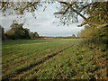
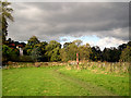
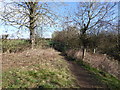
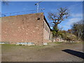
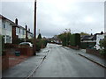
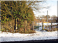
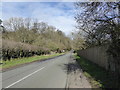
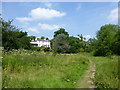
18 photos from this area
Area Information
Key information about the CH4 7BS including its size, population, and administrative classification.
- Area Type
- Postcode
- Area Size
- 6.8 hectares
- Population
- 1109
- Population Density
- 724 people/km²
House Prices in CH4 7BS
12
Properties
£473,500
Average Sold Price
£207,500
Lowest Price
£625,000
Highest Price
Showing 12 properties
| Address | Type | Beds | Baths | Last Sale Price | Last Sale Date | |
|---|---|---|---|---|---|---|
| 5 Pembroke Close, Chester, CH4 7BS | Bungalow | 3 | - | £596,500 | Dec 2019 | |
| 7 Pembroke Close, Chester, CH4 7BS | house | 4 | 2 | £625,000 | Jul 2016 | |
| 9 Pembroke Close, Chester, CH4 7BS | house | - | - | £610,000 | Sep 2012 | |
| 4 Pembroke Close, Chester, CH4 7BS | house | 5 | - | £499,000 | Apr 2010 | |
| 10 Pembroke Close, Chester, CH4 7BS | Detached | - | - | £445,000 | Oct 2008 | |
| 1 Pembroke Close, Chester, CH4 7BS | Detached | - | - | £550,000 | Aug 2005 | |
| 11 Pembroke Close, Chester, CH4 7BS | house | - | - | £207,500 | Mar 1999 | |
| 3 Pembroke Close, Chester, CH4 7BS | house | - | - | £255,000 | Sep 1997 | |
| 8 Pembroke Close, Chester, CH4 7BS | Detached | - | - | - | - | |
| 6 Pembroke Close, Chester, CH4 7BS | Detached | - | - | - | - |
Page 1 of 2
Energy Efficiency in CH4 7BS
Amenities
Schools
| Rank | School | Type | Entry gender | Ages |
|---|
Explore more schools in this area
Go to Schools tabDemographics
Household Size
Two person
most common
Accommodation Type
Houses
most common
Tenure
83
majority
Ethnic Group
White
most common
Religion
N/A
most common
Household Composition
N/A
most common
Age
47
median
Adults (30-64 years)
most common
Household Deprivation
N/A
with no deprivation
NS-SEC
53
in Lower managerial occupations
Explore more demographic insights in this area
Go to Demographics tabPlanning
Planning Constraints
- Flood RiskPremium
- Ramsar Wetland SitesPremium
- Area of Outstanding Natural BeautyPremium
- Protected Nature ReservePremium
- Protected WoodlandPremium