Area Overview for CH2 4ZA
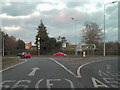
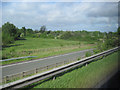
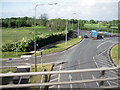
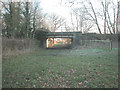
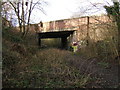
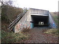
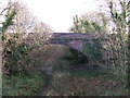
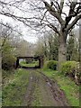
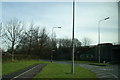
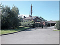
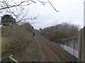
Photos of CH2 4ZA

Area Information
Living in CH2 4ZA means being part of a small, tightly knit residential cluster in Cheshire, just north-east of Chester. The area is home to 1,315 residents, with a population density of 234 people per square kilometre, reflecting a compact, community-focused environment. Historically, Mickle Trafford, the main village in this parish, has roots stretching back to prehistoric times, with evidence of Roman roads nearby and a 12th-century church at Plemstall. Modern residents benefit from proximity to Chester, a city rich in history and culture, while the area retains a rural charm. Daily life here is shaped by a mature demographic—most residents are adults aged 30–64—with a high rate of home ownership (85%) and a predominance of houses over flats. The village’s small size fosters a close-knit community, where local amenities and historical sites coexist with modern conveniences like rail links and digital connectivity. For those seeking a balance between tradition and practicality, CH2 4ZA offers a distinctive blend of heritage and accessibility.
- Area Type
- Postcode
- Area Size
- Not available
- Population
- 1315
- Population Density
- 234 people/km²
The property market in CH2 4ZA is dominated by owner-occupied homes, with 85% of properties owned by residents rather than rented. This high rate of home ownership suggests a stable, long-term community with little turnover. The accommodation type is primarily houses, which aligns with the area’s rural character and the preference for standalone properties. Given the small size of the postcode area, the housing stock is likely limited, making it a niche market for buyers seeking a specific type of property. The focus on houses rather than flats or apartments means that properties here are typically larger and more private, catering to families or individuals prioritising space. For buyers, this implies a need to act quickly when opportunities arise, as the market is not saturated with new listings. The proximity to Chester also means that properties in CH2 4ZA may be viewed as a stepping stone to city living, offering a quieter alternative with easy access to urban amenities.
House Prices in CH2 4ZA
No properties found in this postcode.
Energy Efficiency in CH2 4ZA
The lifestyle in CH2 4ZA is shaped by its proximity to local amenities and historical sites. Retail options include Co-op Kingsway, Heron Coniston, and Spar, providing essential shopping for daily needs. The presence of multiple rail stations, such as Chester and Bache, ensures easy access to larger towns and cities, enhancing both convenience and connectivity. For those seeking travel opportunities, Hawarden Airport is within reach, offering regional flight services. While the data does not mention parks or leisure facilities, the area’s historical sites—like St Peter’s Church and The Street—add cultural depth to daily life. The mix of practical retail, transport links, and heritage sites creates a balanced environment where residents can enjoy both modern comforts and the charm of a small village. This blend supports a lifestyle that is both functional and rooted in local history.
Amenities
Schools
Residents of CH2 4ZA have access to two notable schools. Mickle Trafford Village School is a primary school with an Ofsted rating of “good,” providing a solid foundation for younger children. For families seeking independent education, The Hammond offers a private alternative. The combination of state and independent schools caters to a range of educational preferences, from publicly funded options to fee-paying institutions. This diversity ensures that families can choose between structured, government-supported education or the flexibility of private schooling. The presence of a well-rated primary school is particularly valuable for local parents, as it reduces the need for long commutes to other areas. While no secondary schools are listed in the data, the proximity to Chester likely provides additional options for older students. The school mix reflects the area’s broader demographic profile, supporting a community that values education and choice.
| Rank | School | Type | Entry gender | Ages |
|---|
Explore more schools in this area
Go to Schools tabDemographics
The community in CH2 4ZA is predominantly composed of adults aged 30–64, with a median age of 47. This suggests a mature, settled population, likely with established careers and family ties. Home ownership is exceptionally high at 85%, indicating a strong preference for long-term residency over rental living. The area is characterised by houses rather than flats, reflecting a preference for standalone properties. The predominant ethnic group is White, though no specific data on diversity or deprivation is provided. The absence of younger demographics or higher rental rates suggests a stable, low-turnover community. For those considering CH2 4ZA, the demographic profile points to a neighbourhood where privacy, independence, and a slower pace of life are prioritised. The age range also implies a population with established needs, such as proximity to schools and healthcare, which are key considerations for prospective buyers.
Household Size
Accommodation Type
Tenure
Ethnic Group
Religion
Household Composition
Age
Household Deprivation
NS-SEC
Explore more demographic insights in this area
Go to Demographics tabPlanning
Planning Constraints
- Flood RiskPremium
- Ramsar Wetland SitesPremium
- Area of Outstanding Natural BeautyPremium
- Protected Nature ReservePremium
- Protected WoodlandPremium