Area Overview for CH2 3JA
Photos of CH2 3JA
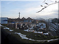
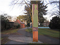
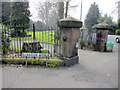
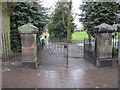
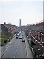
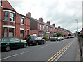
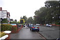
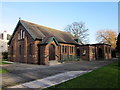
100 photos from this area
Area Information
Key information about the CH2 3JA including its size, population, and administrative classification.
- Area Type
- Postcode
- Area Size
- 2985 m²
- Population
- Not available
- Population Density
- Not available
House Prices in CH2 3JA
16
Properties
£199,436
Average Sold Price
£50,150
Lowest Price
£310,000
Highest Price
Showing 16 properties
| Address | Type | Beds | Baths | Last Sale Price | Last Sale Date | |
|---|---|---|---|---|---|---|
| 25 Vicarage Road, Chester, CH2 3JA | house | - | - | £310,000 | Feb 2021 | |
| 24 Vicarage Road, Chester, CH2 3JA | house | 3 | 1 | £295,000 | Oct 2020 | |
| 26 Vicarage Road, Chester, CH2 3JA | house | 1 | 2 | £265,000 | Dec 2017 | |
| 23 Vicarage Road, Chester, CH2 3JA | house | 3 | 1 | £279,250 | Jul 2017 | |
| 34 Vicarage Road, Chester, CH2 3JA | Terraced | 4 | 1 | £240,000 | Jun 2015 | |
| 32 Vicarage Road, Chester, CH2 3JA | Terraced | 3 | 1 | £249,950 | May 2014 | |
| 35 Vicarage Road, Chester, CH2 3JA | Terraced | - | - | £199,950 | Aug 2007 | |
| 36 Vicarage Road, Chester, CH2 3JA | Flat | 1 | 1 | £175,000 | Aug 2004 | |
| 33 Vicarage Road, Chester, CH2 3JA | Terraced | 3 | 1 | £76,500 | Nov 2000 | |
| 27 Vicarage Road, Chester, CH2 3JA | Terraced | 3 | - | £53,000 | Aug 1997 |
Page 1 of 2
Energy Efficiency in CH2 3JA
Amenities
Schools
| Rank | School | Type | Entry gender | Ages |
|---|
Explore more schools in this area
Go to Schools tabDemographics
Household Size
Two person
most common
Accommodation Type
Houses
most common
Tenure
62
majority
Ethnic Group
White
most common
Religion
N/A
most common
Household Composition
N/A
most common
Age
47
median
Adults (30-64 years)
most common
Household Deprivation
N/A
with no deprivation
NS-SEC
52
in Lower managerial occupations
Explore more demographic insights in this area
Go to Demographics tabPlanning
Planning Constraints
- Flood RiskPremium
- Ramsar Wetland SitesPremium
- Area of Outstanding Natural BeautyPremium
- Protected Nature ReservePremium
- Protected WoodlandPremium