Area Overview for CH2 2PT
Photos of CH2 2PT
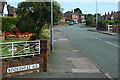
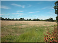
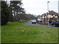
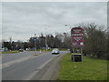
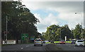
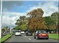
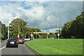
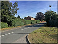
51 photos from this area
Area Information
Key information about the CH2 2PT including its size, population, and administrative classification.
- Area Type
- Postcode
- Area Size
- 7136 m²
- Population
- 1983
- Population Density
- 4447 people/km²
House Prices in CH2 2PT
17
Properties
£194,729
Average Sold Price
£69,000
Lowest Price
£375,000
Highest Price
Showing 17 properties
| Address | Type | Beds | Baths | Last Sale Price | Last Sale Date | |
|---|---|---|---|---|---|---|
| 12 Windermere Avenue, Chester, CH2 2PT | Bungalow | 3 | 1 | £310,000 | May 2025 | |
| 20 Windermere Avenue, Chester, CH2 2PT | Bungalow | - | - | £330,200 | Oct 2022 | |
| 5 Windermere Avenue, Chester, CH2 2PT | Semi-detached | 3 | 1 | £235,500 | Aug 2017 | |
| 6 Windermere Avenue, Chester, CH2 2PT | Bungalow | 3 | - | £246,000 | Jan 2014 | |
| 18 Windermere Avenue, Chester, CH2 2PT | house | 2 | - | £165,000 | Dec 2011 | |
| 3 Windermere Avenue, Chester, CH2 2PT | house | - | - | £180,000 | Oct 2009 | |
| 9 Windermere Avenue, Chester, CH2 2PT | Semi-detached | - | - | £164,500 | Oct 2009 | |
| 16 Windermere Avenue, Chester, CH2 2PT | Bungalow | - | - | £375,000 | Jan 2008 | |
| 22 Windermere Avenue, Chester, CH2 2PT | Detached | - | - | £196,000 | Jan 2008 | |
| 26 Windermere Avenue, Chester, CH2 2PT | Bungalow | 2 | 1 | £190,000 | Nov 2005 |
Page 1 of 2
Energy Efficiency in CH2 2PT
Amenities
Schools
| Rank | School | Type | Entry gender | Ages |
|---|
Explore more schools in this area
Go to Schools tabDemographics
Household Size
One person
most common
Accommodation Type
Houses
most common
Tenure
79
majority
Ethnic Group
White
most common
Religion
N/A
most common
Household Composition
N/A
most common
Age
47
median
Adults (30-64 years)
most common
Household Deprivation
N/A
with no deprivation
NS-SEC
43
in Lower managerial occupations
Explore more demographic insights in this area
Go to Demographics tabPlanning
Planning Constraints
- Flood RiskPremium
- Ramsar Wetland SitesPremium
- Area of Outstanding Natural BeautyPremium
- Protected Nature ReservePremium
- Protected WoodlandPremium