Area Overview for CH2 2EN
Photos of CH2 2EN
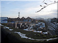
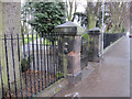
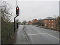
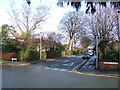
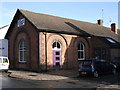
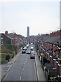
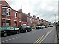
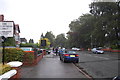
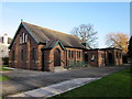
100 photos from this area
Area Information
Key information about the CH2 2EN including its size, population, and administrative classification.
- Area Type
- Postcode
- Area Size
- 1.9 hectares
- Population
- 1541
- Population Density
- 4519 people/km²
House Prices in CH2 2EN
31
Properties
£293,781
Average Sold Price
£76,000
Lowest Price
£645,000
Highest Price
Showing 31 properties
| Address | Type | Beds | Baths | Last Sale Price | Last Sale Date | |
|---|---|---|---|---|---|---|
| 93 Brook Lane, Chester, CH2 2EN | house | 4 | 2 | £645,000 | Dec 2024 | |
| 91A Brook Lane, Chester, CH2 2EN | house | - | - | £319,000 | Jul 2023 | |
| 101 Brook Lane, Chester, CH2 2EN | house | - | - | £625,000 | Jun 2023 | |
| 137 Brook Lane, Chester, CH2 2EN | house | - | - | £420,000 | Nov 2022 | |
| 95 Brook Lane, Chester, CH2 2EN | house | - | - | £437,500 | May 2022 | |
| 123 Brook Lane, Chester, CH2 2EN | house | - | - | £555,000 | May 2021 | |
| 125 Brook Lane, Chester, CH2 2EN | house | - | - | £276,000 | Aug 2018 | |
| 121 Brook Lane, Chester, CH2 2EN | Semi-detached | 4 | 1 | £345,000 | Sep 2017 | |
| 87A Brook Lane, Chester, CH2 2EN | house | - | - | £280,000 | Apr 2017 | |
| 133 Brook Lane, Chester, CH2 2EN | Semi-detached | 4 | - | £285,000 | May 2014 |
Page 1 of 4
Energy Efficiency in CH2 2EN
Amenities
Schools
| Rank | School | Type | Entry gender | Ages |
|---|
Explore more schools in this area
Go to Schools tabDemographics
Household Size
Family (3-5 people)
most common
Accommodation Type
Houses
most common
Tenure
89
majority
Ethnic Group
White
most common
Religion
N/A
most common
Household Composition
N/A
most common
Age
47
median
Adults (30-64 years)
most common
Household Deprivation
N/A
with no deprivation
NS-SEC
45
in Lower managerial occupations
Explore more demographic insights in this area
Go to Demographics tabPlanning
Planning Constraints
- Flood RiskPremium
- Ramsar Wetland SitesPremium
- Area of Outstanding Natural BeautyPremium
- Protected Nature ReservePremium
- Protected WoodlandPremium