Area Overview for CH2 2DW
Photos of CH2 2DW
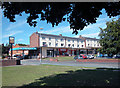
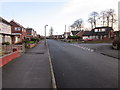
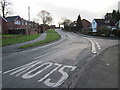
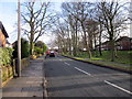
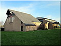
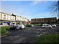
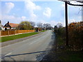
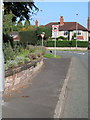
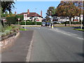
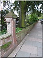
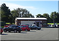
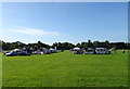
36 photos from this area
Area Information
Key information about the CH2 2DW including its size, population, and administrative classification.
- Area Type
- Postcode
- Area Size
- 9483 m²
- Population
- 1012
- Population Density
- 4094 people/km²
House Prices in CH2 2DW
20
Properties
£211,750
Average Sold Price
£69,500
Lowest Price
£328,000
Highest Price
Showing 20 properties
| Address | Type | Beds | Baths | Last Sale Price | Last Sale Date | |
|---|---|---|---|---|---|---|
| Rosedale, Broadway East, Chester, CH2 2DW | Semi-detached | 3 | 1 | £328,000 | Sep 2022 | |
| Lilacfield, Broadway East, Chester, CH2 2DW | house | - | - | £320,000 | Feb 2022 | |
| 19 Broadway East, Chester, CH2 2DW | Semi-detached | 3 | 1 | £260,000 | Jun 2019 | |
| 11 Broadway East, Chester, CH2 2DW | Semi-detached | 3 | 1 | £230,000 | Feb 2018 | |
| 3 Broadway East, Chester, CH2 2DW | Semi-detached | 3 | 1 | £206,000 | Oct 2017 | |
| 17 Broadway East, Chester, CH2 2DW | house | 3 | - | £251,251 | Jul 2016 | |
| 1 Broadway East, Chester, CH2 2DW | Semi-detached | 3 | 1 | £225,000 | Dec 2014 | |
| 9 Broadway East, Chester, CH2 2DW | house | - | - | £140,000 | Jul 2013 | |
| Tigh Na Shee, Broadway East, Chester, CH2 2DW | house | 3 | - | £160,000 | Apr 2013 | |
| 7 Broadway East, Chester, CH2 2DW | Semi-detached | - | - | £192,500 | Dec 2009 |
Page 1 of 2
Energy Efficiency in CH2 2DW
Amenities
Schools
| Rank | School | Type | Entry gender | Ages |
|---|
Explore more schools in this area
Go to Schools tabDemographics
Household Size
Two person
most common
Accommodation Type
Houses
most common
Tenure
87
majority
Ethnic Group
White
most common
Religion
N/A
most common
Household Composition
N/A
most common
Age
47
median
Adults (30-64 years)
most common
Household Deprivation
N/A
with no deprivation
NS-SEC
43
in Lower managerial occupations
Explore more demographic insights in this area
Go to Demographics tabPlanning
Planning Constraints
- Flood RiskPremium
- Ramsar Wetland SitesPremium
- Area of Outstanding Natural BeautyPremium
- Protected Nature ReservePremium
- Protected WoodlandPremium